|
|
|
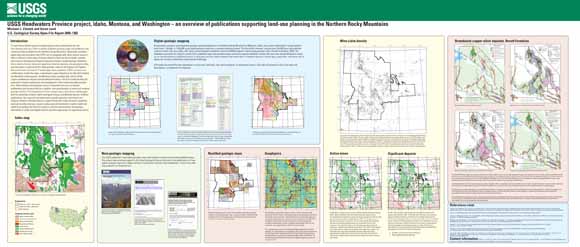
To meet Forest Service goals of integrating geoscience information into the land-planning process, USGS scientists published geologic maps and databases and conducted topical studies for the Northern Rocky Mountains. Regionally consistent digital data sets provided to the USFS can be integrated with other natural resource data to address a wide range of issues related to land-use, forest health, hazards, and resource development. Regional datasets include a spatial geologic database, the locations of active mines and significant minerals deposits, and geophysical data sets that depict crustal structure. New geologic maps for the Salmon and Payette National Forests and several 1¼ quadrangles were published. USGS scientists and collaborators studied the large, undeveloped copper deposits in the Revett Formation, the Blackbird cobalt deposits, the Montana-Idaho porphyry belt, and the Butte copper-molybdenum deposit and provided information critical for understanding the potential for mineral exploration and development in this environmentally sensitive area. Other studies characterized control of basement structure on mineral endowment, geochemical effects of wildfire, and geochemistry of mined and unmined geologic terrains. The Headwaters Province project was conducted in collaboration with the University of Idaho, Idaho Geological Survey, and Montana Bureau of Mines and Geology. Our research and publications provide objective information and analysis related to minerals issues to support those who make decisions regarding national security, land use, resource policy, and environmental or public health and safety by providing new mineral resource, mineral environmental, and geologic information in easily used digital formats at scales appropriate for regional decisions. This open-file report consists of a poster that was displayed October 4-6, 2005 at the Forest Service National Minerals and Geology Workshop "Geofest 2005 - Managing an active landscape" in Portland, Oregon. |
Download the poster. This is a three-by-seven-foot poster of the presentation (45 MB). You can easily view it on your monitor as well by panning and zooming within the PDF.
For questions about the content of this report, contact Mike Zientek
| Help
| PDF help
| Publications main page
| Open-File
Reports for 2005
|
This report is available only on the web.