|
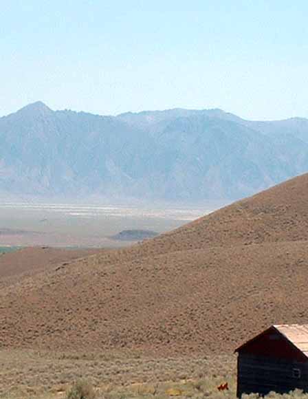
In September, 2004, the U.S. Geological Survey (USGS) collected 84 gravity stations and about 250 line-kilometers (150 line-miles) of truck-towed magnetometer data in northwest Nevada and northeast California along a USArray seismic refraction-reflection line collected by Stanford University in September 2004. The seismic line extends from about 50 km west of Alturas, Calif., through Vya, Nev., to the junction of Highways 395 and 140 about 50 km north of Winnemucca, Nev. It crosses, from west to east, the Warner Mountains, Surprise Valley, Charles Sheldon Antelope Range, and the Black Rock Desert. Gravity and magnetic data were collected along the seismic transect to study regional crustal structures and geology. Although the study area is composed predominantly of Tertiary volcanic rocks of the Modoc Plateau, the region also includes upper Paleozoic siliceous and volcanic rocks, Triassic and Jurassic meta-sedimentary rocks, and Mesozoic and Tertiary intrusive rocks. These rock types create a distinguishable pattern of gravity and magnetic anomalies that reflect their physical properties. |
Download this report as a 14-page PDF document (of2005-1446.pdf; 5.3 MB)
Download the appendix table, Principal facts of gravity stations along the USArray seismic line, This table is included in the text and is also provided here as an Excel spreadsheet (of2005-1446_appendix.xls, 32 KB).
For questions about the content of this report, contact Janet Tilden.
| Help
| PDF help
| Publications main page | Open-File
Reports for 2005 |