Skip Links

Skip USGS links group
USGS - science for a changing world
CZN logo  NOAA logo
End of USGS links group

Open-File Report 2006-1008

High-Resolution Geologic Mapping of the Inner Continental Shelf: Boston Harbor and Approaches, Massachusetts

Title Page / Table of Contents / List of Figures / Introduction / Maps / Data Collection/Processing / Interpretation / Acknowledgments / Appendix 1 / Appendix 2 / Appendix 3 /
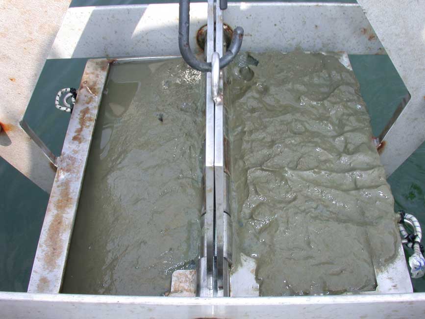


Image of sediment.
BH101


Sample ID:
BH101
Depth (in meters):
10.2
Latitude (Decimal Degrees, North):
42.3428817
Longitude (Decimal Degrees, West):
-71.0090683
% Gravel:
0
% Sand:
21.91
% Silt:
49.13
% Clay:
28.95
Shepard Classification:
SAN SIL CLAY


back to Appendix 2

Skip past footer information

Accessibility FOIA Privacy Policies and Notices

Take Pride in America logo USA.gov logo U.S. Department of the Interior | U.S. Geological Survey
URL: http://pubsdata.usgs.gov/pubs/of/2006/1008/appendix2/BH101.html
Page Contact Information: GS Pubs Web Contact
Page Last Modified: Friday, 02-Aug-2024 11:42:37 EDT