Open-File Report 2006-1059
![]() Title | Geologic Setting | Introduction
| Methods | Bathymetric Overview |
Interpretation | Data Catalog
| Acknowledgments | References
| Figures
| Contacts
Title | Geologic Setting | Introduction
| Methods | Bathymetric Overview |
Interpretation | Data Catalog
| Acknowledgments | References
| Figures
| Contacts
 |
||
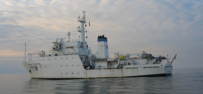
Figure 2. Port-side view of the NOAA Ship Thomas Jefferson at sea. Note that the 30-foot survey launch normally stowed on this side of the ship has been deployed. | ||

![]() U.S. Department of the Interior |
U.S. Geological Survey
U.S. Department of the Interior |
U.S. Geological Survey
URL: http://pubsdata.usgs.gov/pubs/of/2006/1059/html/fig2.html
Page Contact Information: GS Pubs Web Contact
Page Last Modified: Tuesday, 16-Sep-2025 15:51:38 EDT
