|
|
||||
| In Cooperation with the National Park Service |
|
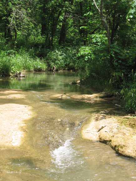
The geological configuration of the Arbuckle Uplift in the vicinity of Chickasaw National Recreation Area in south-central Oklahoma plays a governing role in the distribution of fresh and mineral springs within the park and in the existence of artesian wells in and around the park. A confining layer of well-cemented conglomerate lies immediately below the surface of the recreation area, and groundwater migrates from an area of meteoric recharge where rocks of the Arbuckle-Simpson Aquifer crop out as close as two kilometers to the east of the park. Prominent, Pennsylvanian-aged faults are exposed in the aquifer outcrop, and two of the fault traces project beneath the conglomerate cover toward two groups of springs within the northern section of the park. We conducted gravity fieldwork and analysis to investigate the subsurface extensions of these major faults beneath Chickasaw National Recreation Area. By defining gravity signatures of the faults where they are exposed, we infer that the Sulphur and Mill Creek Faults bend to the south-west where they are buried. The South Sulphur Fault may project westward linearly if it juxtaposes rocks that have a density contrast opposite that of that fault's density configuration in the Sulphur Syncline area. The Sulphur Syncline, whose eastern extent is exposed in the outcrop area of the Arbuckle-Simpson Aquifer, does not appear to extend beneath Chickasaw National Recreation Area nor the adjacent City of Sulphur. The South Sulphur Fault dips steeply northward, and its normal sense of offset suggests that the Sulphur Syncline is part of a graben. The Mill Creek Fault dips vertically, and the Reagan Fault dips southward, consistent with its being mapped as a thrust fault. The Sulphur and Mill Creek Synclines may have formed as pull-apart basins in a left-lateral, left-stepping strike-slip environment. The character of the gravity field of Chickasaw National Recreation Area is different from the lineated gravity field in the area of Arbuckle-Simpson Aquifer outcrop. This change in character is not due to the presence of the overlying conglomerate layer, which is quite thin (<100 m) in the area of the park with the springs. The presence of relatively high-density Precambrian basement rocks in a broader region suggests that significant gravity anomalies may arise from variations in basement topography. Understanding of the geological configuration of Chickasaw National Recreation Area can be improved by expanding the study area and by investigating complementary geophysical and borehole constraints of the subsurface. |
Download this report as a 42-page PDF document (9 MB)
GIS data (shapefile) for gravity stations (from table A1): 2006-1083.zip (22 kB)
Metadata file (text)
For questions about the content of this report, contact Dan Scheirer or Allegra Hosford Scheirer.
| Help
| PDF help
| Publications main page | Open-File
Reports for 2006 |