|
|
|
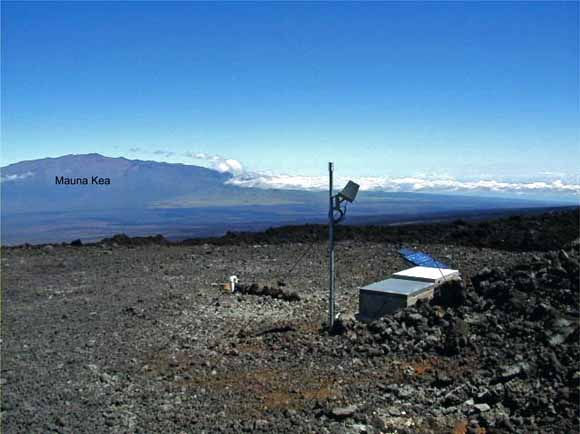
In response to concerns about the potential hazard of Mauna Loa volcano in Hawaii, the USGS began efforts in 1998 to add four high-resolution borehole sites. Located at these sites are; strainmeters, tiltmeters, seismometers, accelerometers and other instrumentation. These instruments are capable of providing continuous monitoring of the magma movement under Mauna Loa. Each site was planned to provide multi-parameter monitoring of volcanic activity. In June of 2000, a contract was let for the core drilling of three of these four sites. They are located at Hokukano (west side of Mauna Loa) above Captain Cook, Hawaii; at Mauna Loa Observatory (11,737' near the summit), and at Mauna Loa Strip Road (east side of Mauna Loa). Another site was chosen near Halema'uma u' and Kilauea's summit, in the Keller deep well. (See maps). The locations of these instruments are shown in Figure 1 with their latitude and longitude in Table 1. The purpose of this network is to monitor crustal deformation associated with volcanic intrusions and earthquakes on Mauna Loa and Kilauea volcanoes. This report describes the methods used to locate sites, install dilatometers, other instrumentation, and telemetry. We also provide a detailed description of the electronics used for signal amplification and telemetry, plus techniques used for instrument maintenance. Instrument sites were selected in regions of hard volcanic rock where the expected signals from magmatic activity were calculated to be a maximum and the probability of earthquakes with magnitude 4 or greater is large. At each location, an attempt was made to separate tectonic and volcanic signals from known noise sources for each instrument type.
|
Download this report as a 81-page PDF document (of2006-1103.pdf; 4.2 MB)
Download drawings for report as a 31-page PDF document These illustrations are also linked from within the main-text PDF above. (of2006-1103_drawings.pdf; 7 MB)
For questions about the content of this report, contact Glenn Myren
| Help
| PDF help
| Publications main page | Open-File
Reports for 2006 |