Benthic Habitat and Geologic Mapping of the outer Continental Shelf of North-Central California


U.S. Geological Survey
Open-file Report 2006-1177
Benthic Habitat and Geologic Mapping of the outer Continental Shelf of North-Central California |
|
 |
|
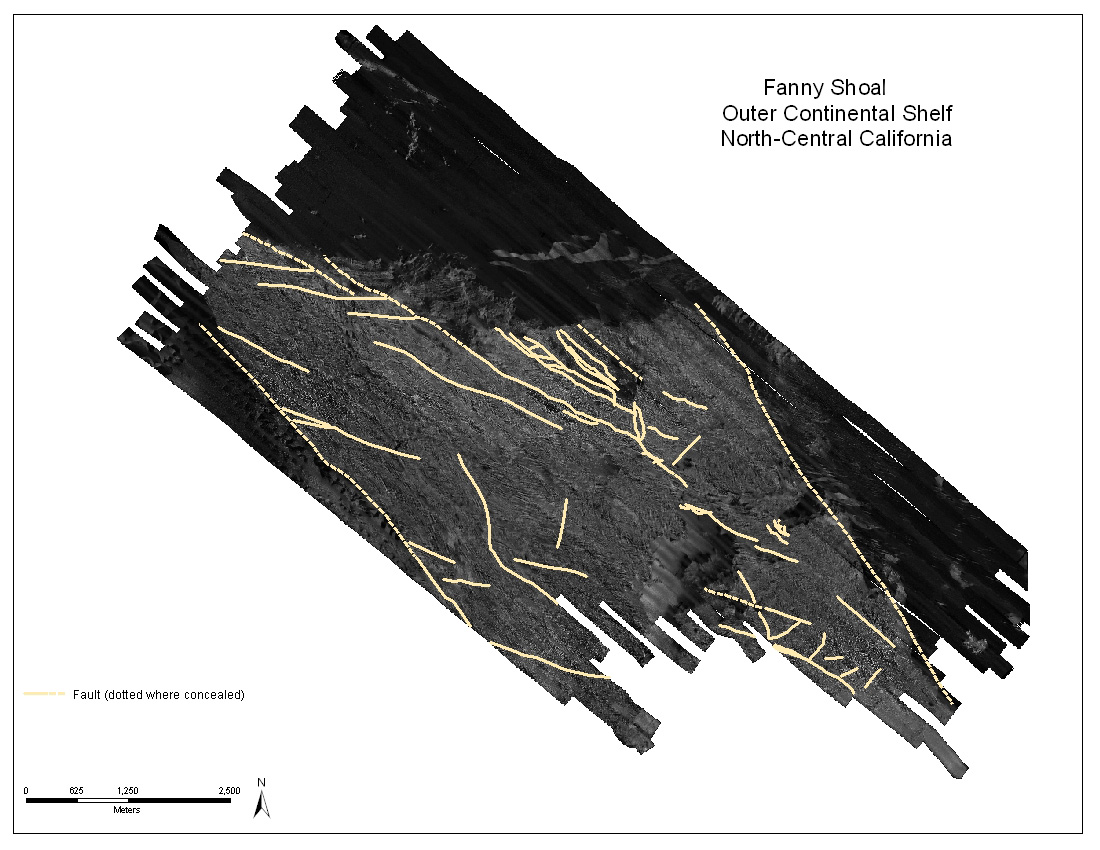
| Map showing the location of fault lines in study area in the Gulf of Farallones National Marine Sanctuary. | |
Accessibility
|
FOIA
| Privacy
|
Policies and Notices
U.S. Department of the Interior
U.S. Geological Survey
URL: http://walrus.wr.usgs.gov/
maintained by Michael Diggles
last modified 30 June 2006 (ng)