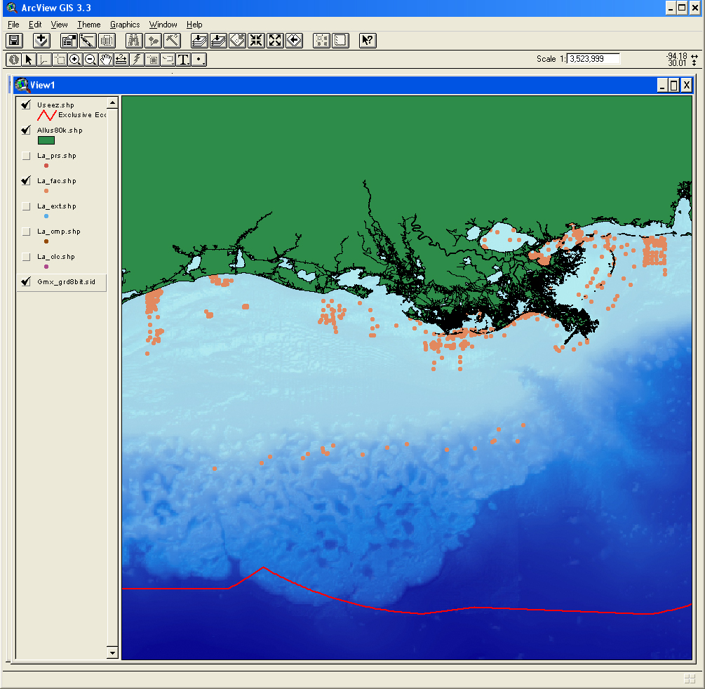
The facies data layer (FAC) represents concatenated information about components (minerals and rock type), genesis (igneous, metamorphic, carbonate, terrigenous), and other appropriate groupings of information about the seafloor. The facies data are parsed from written descriptions from cores, grabs, photographs, and videos, and may apply only to a subsample as denoted by the Top, Bottom, and SamplePhase fields.
Lack of values in a defined facies field does not necessarily imply lack of the components defining that field, but may imply a lack of data for that field.
U.S. Geological Survey, 2007, LA_FAC: usSEABED FACies data for the Louisiana Region: Open-File Report 2006-1195, U.S. Geological Survey, Coastal and Marine Geology Program, Woods Hole Science Center, Woods Hole, MA.This is part of the following larger work.Online Links:
- <http://pubs.usgs.gov/of/2006/1195/data/usseabed/la_fac.zip>
- <http://pubs.usgs.gov/of/2006/1195/htmldocs/data_catalog.htm>
Williams, S.J., Arsenault, M.A., Buczkowski, B.J., Reid, J.A., Flocks, J.G., Kulp, M.A., Penland, S., and Jenkins, C.J., 2007, Surficial Sediment Character of the Louisiana Offshore Continental Shelf Region: a GIS Compilation: Open-File Report 2006-1195, U.S. Geological Survey, Coastal and Marine Geology Program, Woods Hole Science Center, Woods Hole, MA.Online Links:
This is a Vector data set. It contains the following vector data types (SDTS terminology):
Horizontal positions are specified in geographic coordinates, that is, latitude and longitude. Latitudes are given to the nearest 0.000000. Longitudes are given to the nearest 0.000000. Latitude and longitude values are specified in Decimal degrees.
The horizontal datum used is North American Datum of 1927.
The ellipsoid used is Clarke 1866.
The semi-major axis of the ellipsoid used is 6378206.400000.
The flattening of the ellipsoid used is 1/294.978698.
Sequential unique whole numbers that are automatically generated.
Coordinates defining the features.
| Range of values | |
|---|---|
| Units: | decimal degrees |
| Range of values | |
|---|---|
| Units: | decimal degrees |
| Range of values | |
|---|---|
| Units: | meters |
Output as a word-based description that may involve numerics. This field will need to be selected against when GIS mappings of the bulk sediment characters are being mapped. Only blank entries should be included in such a mapping.
| Range of values | |
|---|---|
| Units: | meters |
| Range of values | |
|---|---|
| Units: | meters |
(508) 548-8700 x2354 (voice)
(508) 457-2310 (FAX)
marsenault@usgs.gov
To build a digital mapping of the character of the seabed on regional, national and global scales. These data are intended for science researchers, students, policy makers, and the general public. The data can be used with geographic information systems (GIS) software to display geologic and oceanographic information.
U.S. Geological Survey, and Colorado, University of , 2006, GMX_FAC: usSEABED FACies data for the Gulf of Mexico and Caribbean (Puerto Rico and U.S. Virgin Islands): Data Series 146, U.S. Geological Survey, Coastal and Marine Geology Program, Woods Hole Science Center, Woods Hole, MA.This is part of the following larger work.Online Links:
Buczkowski, B.J., Reid, J.A., Jenkins, C.J., Reid, J.M., Williams, S.J., and Flocks, J.G., 2006, usSEABED: Gulf of Mexico and Caribbean (Puerto Rico and U.S. Virgin Islands) Offshore Surficial Sediment Data Release: Data Series 146, U.S. Geological Survey, Coastal and Marine Geology Program, Woods Hole Science Center, Woods Hole, MA.Online Links:
Person who carried out this activity:
508-548-8700 x2354 (voice)
508-457-2310 (FAX)
marsenault@usgs.gov
Data sources produced in this process:
Buczkowski, B.J., Reid, J.A., Jenkins, C.J., Reid, J.M., Williams, S.J., and Flocks, J.G., 2006, usSEABED: Gulf of Mexico and Caribbean (Puerto Rico and U.S. Virgin Islands) Offshore Surficial Sediment Data Release, version 1.0: Data Series 146, U.S. Geological Survey, Coastal and Marine Geology Program, Woods Hole Science Center, Woods Hole, MA.Online Links:
Accuracy of each attribute is dependent on the accuracy of the lineage data.
Locational accuracy is dependent on the accuracy of the navigational technique from the individual data sources and may vary widely (e.g., from 0.005km (differential GPS) in more recent surveys to greater than 2 km based on radar, Loran, or dead reckoning in older surveys.) Users of the data should use their own criteria for assessing the accuracy of the locations.
Locational accuracy is dependent on the accuracy of the navigational technique from the individual data sources. Users of the data should use their own criteria for assessing the accuracy of the locations.
Additional useable data may exist in this area; the authors appreciate any information and leads.
Data in usSEABED are based on the observations and analyses of others, filtered through a unifying and mining software. Each source report varies in type of information/data recorded and format. Only those observations that are recorded can be filtered and mined; only presence (not absence) or information can be noted.
Are there legal restrictions on access or use of the data?
- Access_Constraints: None
- Use_Constraints:
- Public domain data from the U.S. Government are freely redistributable with proper metadata and source attribution. Please recognize the U.S. Geological Survey (USGS) as the source of this information.
(508) 548-8700 x2354 (voice)
(508) 457-2310 (FAX)
marsenault@usgs.gov
Downloadable Data
Although this data set has been used by the U.S. Geological Survey (USGS), no warranty, expressed or implied, is made by the USGS as to the accuracy of the data and/or related materials. The act of distribution shall not constitute any such warranty, and no responsibility is assumed by the USGS in the use of these data or related materials. Trade, firm, or product names and other references to non-USGS products and services are provided for information only and do not constitute endorsement or warranty, express or implied, by the USGS, USDOI, or U.S. Government, as to their suitability, content, usefulness, functioning, completeness, or accuracy.
| Data format: | Text file containing data input to usSEABED. Fields are comma separated values. First record of file contains field names. in format ASCII Size: 19.1 MB |
|---|---|
| Network links: |
<http://pubs.usgs.gov/of/2006/1195/data/usseabed/la_fac.txt> |
| Media you can order: |
CD-ROM
(Density 650
Mbytes)
(format ISO 9660 and HFS)
|
| Data format: | The SHP file contains the geospatial data. The SHX file contains the index of the geospatial data. The DBF file contains the attribute data in dBASE format. The PRJ file contains the coordinate system information (optional). The AVL file contains the legend information (optional). The SBN and SBX files contain the spatial index of the geospatial data (optional). The XML file contains the metadata describing the data set <data set name>.shp.xml. An ASCII version of the metadata file. A browse graphic showing the data layer coverage and extent (optional). in format SHP ESRI Shapefile |
|---|---|
| Network links: |
<http://pubs.usgs.gov/of/2006/1195/data/usseabed/la_fac.zip> <http://pubs.usgs.gov/ofr/2006/1195/htmldocs/data_catalog.htm> |
| Media you can order: |
CD-ROM
(Density 650
Mbytes)
(format ISO 9660 and HFS)
|
These data are available in Environmental Systems Research Institute (ESRI) shapefile format. The user must have ArcGIS® or ArcView® 3.0 or greater software to read and process the data file. In lieu of ArcView or ArcGIS, the user may utilize another GIS application package capable of importing the data. A free data viewer, arcexplorer, capable of displaying the data is available from ESRI at www.esri.com.
(508) 548-8700 x2354 (voice)
(508) 457-2310 (FAX)
marsenault@usgs.gov