Arizona Water Science Center
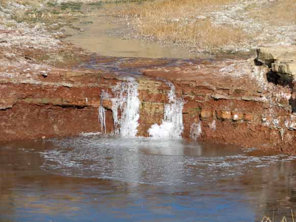
Polacca Wash, photograph by Margot Truini
The N aquifer is the major source of water in the 5,400 square-mile Black Mesa area in northeastern Arizona. Availability of water is an important issue in northeastern Arizona because of continued water requirements for industrial and municipal use and the needs of a growing population. Precipitation in the Black Mesa area averages about 6 to 14 inches per year.
The water monitoring program in the Black Mesa area began in 1971 and is designed to provide information about the long-term effects of ground-water withdrawals from the N aquifer for industrial and municipal uses. This report presents results of data collected for the monitoring program in the Black Mesa area from January 2005 to September 2006. The monitoring program includes measurements of (1) ground-water pumping, (2) ground-water levels, (3) spring discharge, (4) surface-water discharge, (5) ground-water chemistry, and (6) periodic testing of ground-water withdrawal meters.
In 2005, ground-water withdrawals in the Black Mesa area totaled 7,330 acre-feet, including ground-water withdrawals for industrial (4,480 acre-feet) and municipal (2,850 acre-feet) uses. From 2004 to 2005, total withdrawals increased by less than 2 percent, industrial withdrawals increased by approximately 3 percent, and total municipal withdrawals increased by 0.35 percent.
From 2005 to 2006, annually measured water levels in the Black Mesa area declined in 10 of 13 wells in the unconfined areas of the N aquifer, and the median change was -0.5 foot. Measurements indicated that water levels declined in 12 of 15 wells in the confined area of the aquifer, and the median change was -1.4 feet. From the prestress period (prior to 1965) to 2006, the median water-level change for 29 wells was -8.5 feet. Median water-level changes were -0.2 foot for 13 wells in the unconfined areas and -46.6 feet for 16 wells in the confined area.
Ground-water discharges were measured once in 2005 and once in 2006 at Moenkopi School Spring and Burro Spring. Discharge decreased by 3.5 percent at Moenkopi School Spring and by 15 percent at Burro Spring. During the period of record at each spring, discharges fluctuated; a decreasing trend was apparent.
Continuous records of surface-water discharge in the Black Mesa area have been collected from streamflow gages at the following sites: Moenkopi Wash (1976 to 2005), Dinnebito Wash (1993 to 2005), Polacca Wash (1994 to 2005), Pasture Canyon Spring (August 2004 to December 2005), and Laguna Creek (1996 to 2005). Median flows during November, December, January, and February of each water year were used as an index of the amount of ground-water discharge to the above named sites. For the period of record at each streamflow-gaging station, the median winter flows have decreased for Moenkopi Wash, Dinnebito Wash, and Polacca Wash. There is not a long enough period of record for Pasture Canyon Spring and Laguna Creek was discontinued at the end of December 2005.
In 2006, water samples were collected from 6 wells and 2 springs in the Black Mesa area and analyzed for selected chemical constituents. Dissolved-solids concentrations ranged from 111 to 588 milligrams per liter. Water samples from 5 of the wells and both of the springs had less than 500 milligrams per liter of dissolved solids. Trends in the chemistry of water samples from the 6 wells show the Piñon NTUA 1 and Peabody 9 wells increasing in dissolved solids, Forest Lake NTUA 1 and Peabody 2 wells decreasing in dissolved solids, and Kykotsmovi PM2 and Keams Canyon PM2 wells show a steady trend. Increasing trends in dissolved-solids, chloride, and sulfate concentrations were evident from the more than 11 years of data for the 2 springs.
Download the text for this report as a 44-page PDF file (of2007-1041.pdf; 2.9 MB)
For questions about the content of this report, contact Margot Truini
Download the Suggested citation and version history
Download a current version of Adobe Reader for free
| Help
| PDF help
| Publications main page | Western Open-File Reports for 2007 |
| Water Resources | Arizona Water Science Center
|
This report is available only on the Web

![]() U.S. Department of the Interior | U.S. Geological Survey
U.S. Department of the Interior | U.S. Geological Survey
URL: https://pubs.usgs.gov/of/2007/1041/
Page Contact Information: Michael Diggles
Page Last Modified: January 9, 2008