
U.S. Geological Survey
Open-file Report 2007-XXXX
Seafloor Mapping and Benthic Habitat GIS for Southern California, Volume III |
|
 |
|
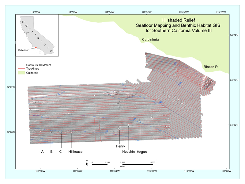
| Figure 1. Location map of Seafloor Mapping and Benthic Habitat GIS for Southern California, Vol. III. Letters and names with pointers refer to offshore oil platforms.. | |
Accessibility
|
FOIA
| Privacy
|
Policies and Notices
U.S. Department of the Interior
U.S. Geological Survey
URL: https://walrus.wr.usgs.gov/
maintained by Michael Diggles
last modified 12 December 2005 (ng)