U.S. Geological Survey Open-File Report 2007-1382
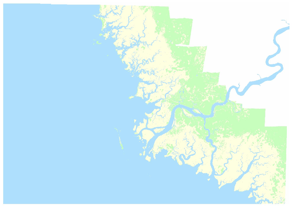
This directory contains three raster-format feature maps derived from hyperspectral imagery. Each GeoTIFF file is approximately 21mb. To access the data from this DVD, download the files to your computer.
Three Basic Categories: UTM | State Plane
Habitat Categories: UTM | State Plane
Tidal-Flood Zones: UTM | State Plane
 |
 |
 |