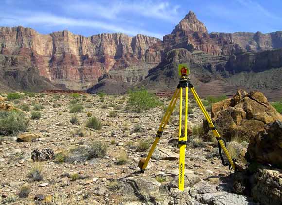
View to the southeast of Comanche Point in eastern Grand Canyon National Park, Arizona (Photograph courtesy of Matt Kaplinski, Northern Arizona University).
In 2002, fine-grained sediment (sand, silt, and clay) monitoring in the Colorado River downstream from Glen Canyon Dam was initiated to survey channel topography at scales previously unobtainable in this canyon setting. This report presents the methods used to establish the high-resolution global positioning system (GPS) control network required for this effort as well as the conventional surveying techniques used in the study. Using simultaneous, dual-frequency GPS vector-based methods, the network points were determined to have positioning accuracies of less than 0.03 meters (m) and ellipsoidal height accuracies of between 0.01 and 0.10 m at a 95-percent degree of confidence. We also assessed network point quality with repeated, electronic (optical) total-station observations at 39 points for a total of 362 measurements; the mean range was 0.022 m in horizontal and 0.13 in vertical at a 95-percent confidence interval. These results indicate that the control network is of sufficient spatial and vertical accuracy for collection of airborne and subaerial remote-sensing technologies and integration of these data in a geographic information system on a repeatable basis without anomalies. The monitoring methods were employed in up to 11 discrete reaches over various time intervals. The reaches varied from 1.3 to 6.4 kilometers in length. Field results from surveys in 2000, 2002, and 2004 are described, during which conventional surveying was used to collect more than 3000 points per day. Ground points were used as checkpoints and to supplement areas just below or above the water surface, where remote-sensing data are not collected or are subject to greater error. An accuracy of ±0.05 m was identified as the minimum precision of individual ground points. These results are important for assessing digital elevation model (DEM) quality and identifying detection limits of significant change among surfaces generated from remote-sensing technologies.
Download this report as a 24-page PDF file (of2008-1276.pdf; 1.3 MB)
For questions about the content of this report, contact Joe Hazel (Joseph.Hazel@nau.edu) or Keith Kohl (kkohl@usgs.gov).
Download the Suggested citation and version history
Download a free copy of the latest version of Adobe Reader.
|
Help |
PDF help |
Publications main page |
| Western Open-File Reports for 2008 |
| Biological Resources |
Southwest Biological Science Center
|
This report is available only on the Web

![]() U.S. Department of the Interior | U.S. Geological Survey
U.S. Department of the Interior | U.S. Geological Survey
URL: https://pubs.usgs.gov/of/2008/1276/
Page Contact Information: Michael Diggles
Page Created: September 3, 2008
Page Last Modified: September 3, 2008