U.S. Geological Survey Open-File Report 2009–1003
Digital Seismic-Reflection Data from Eastern Rhode Island Sound and Vicinity, 1975–1980
 |
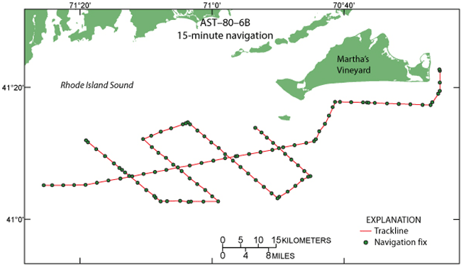
Figure 3. Map of 15-minute and start- and end-of-line navigation fixes from cruise AST–80–6B in southern Rhode Island Sound. |