U.S. Geological Survey Open-File Report 2011–1004
Sea-Floor Geology and Character of Eastern Rhode Island Sound West of Gay Head, Massachusetts
 |
||
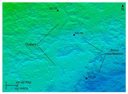
Figure 25. Detailed planar view of the bathymetric data collected during National Oceanic and Atmospheric Administration survey H11922 showing the complex pattern of scour in the northwestern part of the study area and the locations of stations 922-18, 922-20, and 922-22. Note the presence of erosional outliers. Location of view is shown in figure 21. | ||