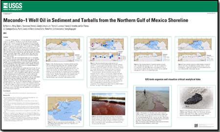
 Summary Summary
From April 20 through July 15, 2010, an estimated 4.4 million barrels (1 barrel = 42 gallons [~700,000 cu m]) of crude oil spilled into the northern Gulf of Mexico (nGOM) from the ruptured British Petroleum (BP) Macondo–1 (M–1) well after the explosion of the drilling platform Deepwater Horizon. In addition, ~1.84 million gallons (~7,000 cu m) of hydrocarbon-based Corexit dispersants were applied to the oil both on and below the sea surface (Operational Science Advisory Team, 2010). An estimate of the total extent of the surface oil slick, derived from wind, ocean currents, aerial photography, and satellite imagery, was 68,000 square miles (~180,000 sq km; Amos and Norse, 2010). Spilled oil from this event impacted sensitive habitat along the shores of the nGOM.
In response to this environmental catastrophe, the U.S. Geological Survey (USGS) collected coastal sediment and tarball samples along the shores of the nGOM from Texas to Florida before and after oil made landfall. These sites included priority areas of the nGOM at highest risk for oil contamination. These areas included coastal wetlands, shorelines, and barrier islands that could suffer severe environmental damage if a significant amount of oil came ashore.
Samples were collected before oil reached land from 69 sites; 49 were revisited to collect samples after oil landfall. This poster focuses on the samples from locations that were sampled on both occasions. The USGS samples and one M–1 well-oil sample provided by BP were analyzed for a suite of diagnostic geochemical biomarkers. Aided by multivariate statistical analysis, the M–1 well oil was not detected in the samples collected before landfall but have been identified in sediment and tarballs collected from Louisiana, Alabama, Mississippi, and Florida after landfall. None of the sediment hydrocarbon extracts from Texas correlated with the M–1 well oil. Oil-impacted sediment is confined to the shoreline adjacent to the cumulative oil slick of the Deepwater Horizon oil spill and no impact was observed outside of this area. Incorporation of the analytical data in geographical information systems (GIS) offers querying capabilities and visualizations such as those demonstrated here.
|
-
This report is available only on the Web.
This report is presented in Portable Document Format (PDF); the latest version of Adobe Reader or similar software is required to view it. Download the latest version of Adobe Reader, free of charge. |

