|
This section describes the data collected for this project, the location of the data, and how to access them.
Data Format and Projection
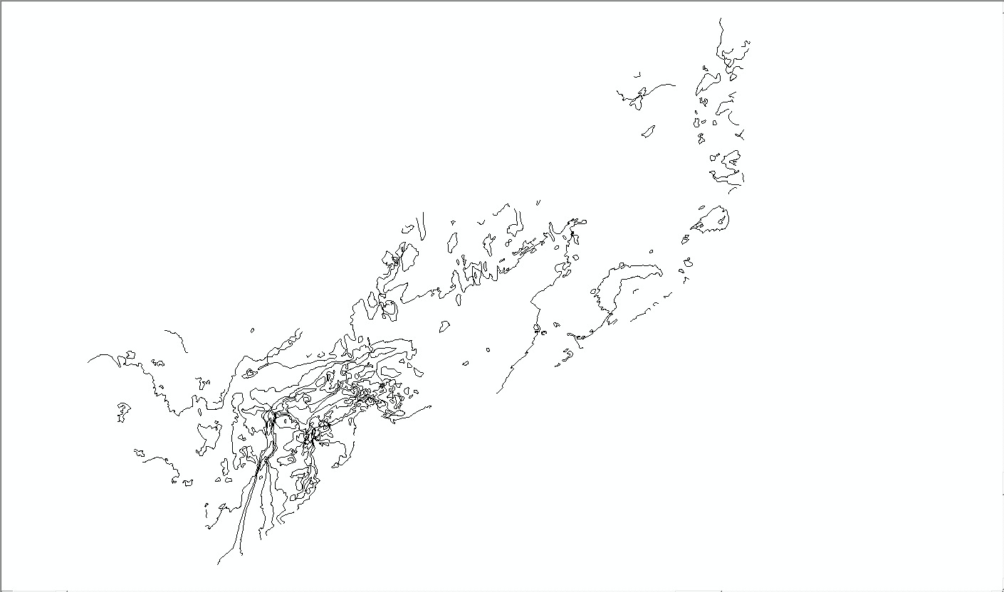
All vector data are delivered as Esri shapefiles in the World Geodetic System of 1984 (WGS84) geographic coordinate system. The raster data are GeoTIFFs and Esri grids in Universal Transverse Mercator (UTM), Zone 19, WGS84 projection. These data can also be accessed through the U.S. Geological Survey Coastal and Marine Geology Program Web Map server (http://coastalmap.marine.usgs.gov/).
All spatial data are distributed with Esri-style Federal Geographic Data Committee (FGDC) metadata in extensible markup language (xml) format. Metadata are also provided for all spatial data in text (txt) and FGDC classic hypertext markup language (html) formats. Esri ArcCatalog 9.x can also be used to examine the metadata in a variety of additional formats.
Data Access
The complete datasets from this project can be accessed in two different ways, depending on available software.
- If you have ArcGIS 9.x, all shapefile and grid data may be viewed and manipulated, although Spatial Analyst extension will be required to fully examine and work with the Esri grids.
- If you do not have any GIS software, a free software download is available to view the data.
If you have ArcGIS 9.3 or higher
From the DVD-ROM, copy the GIS folder to your computer.
From the Web index page: Make a new folder structure on your computer matching the Data Organization structure shown in the Data Organization section, then download each of the zip files in the data catalog below to the corresponding folder on your computer. Download the ArcMap document BuzzardsBay.mxd to the parent "GIS" directory. This map document has all the data layers loaded in the table of contents and uses relative links, so there is no need to change any pathways for drive letters, if all folders remain the same under the parent directory (GIS). After unzipping each of the files, your GIS folder should be organized as described in the Data Organization section.
If you do not have any GIS Software
You can still view all the data via ArcReader, a free mapping application distributed by Esri for Windows, Linux, and Unix operating systems. Download ArcReader at http://www.esri.com/software/arcgis/arcreader/download.html and follow the directions for downloading and installing the free software. Once ArcReader is installed, all the data can be viewed by opening the published map file (pmf) at GIS/BuzzardsBay.pmf. Other free Esri software, such as ArcExplorer (http://www.esri.com/software/arcgis/explorer/index.html), can be used to view the datasets as well.
Data Organization
The data are organized in folders on the DVD-ROM and the Web site where this report is served (http://pubs.usgs.gov/of/2012/1002/). The file structure is the same for both media and is described below. Data layers can be downloaded individually using the table below. Individual layers are provided in compressed (zip) files. Files in a zip archive can be extracted with various free software that can be found online.
 GIS.—Top-level directory for all spatial data. Copy or download the files to this folder on a local hard drive. Note: The size of the uncompressed GIS directory on the DVD-ROM is approximately 4.1 gigabytes (GB). GIS.—Top-level directory for all spatial data. Copy or download the files to this folder on a local hard drive. Note: The size of the uncompressed GIS directory on the DVD-ROM is approximately 4.1 gigabytes (GB).
BuzzardsBay.mxd.—ArcGIS 9.3 map document with all data loaded in the ArcMap table of contents.
BuzzardsBay.pmf.—Esri ArcReader (created with Esri ArcGIS Publisher 9.3) map document for use with free ArcReader software. Download ArcReader at http://www.esri.com/software/arcgis/arcreader/download.html.
raster.—Folder containing all raster spatial data in either Esri grid or GeoTIFF format. Contains the following subdirectories:
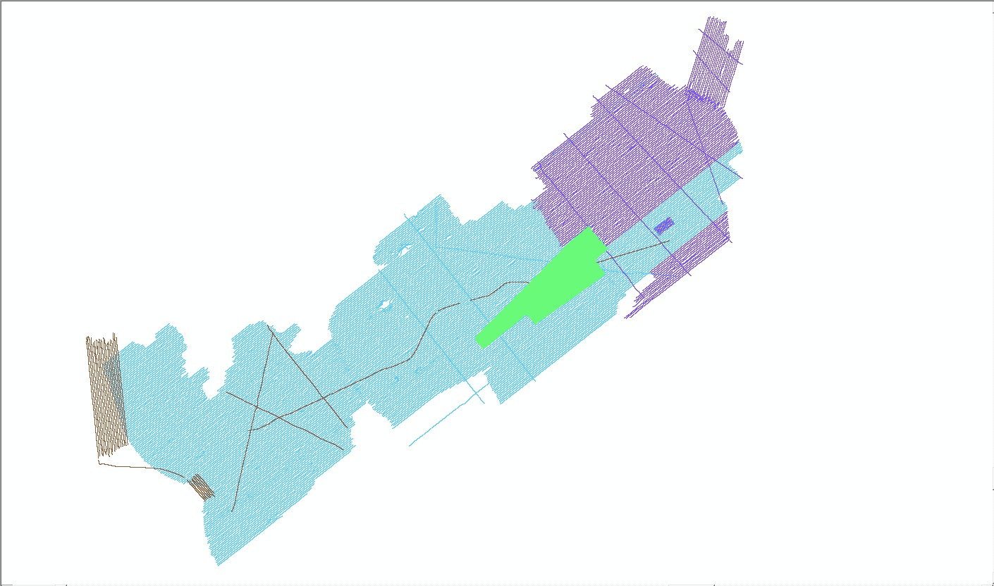
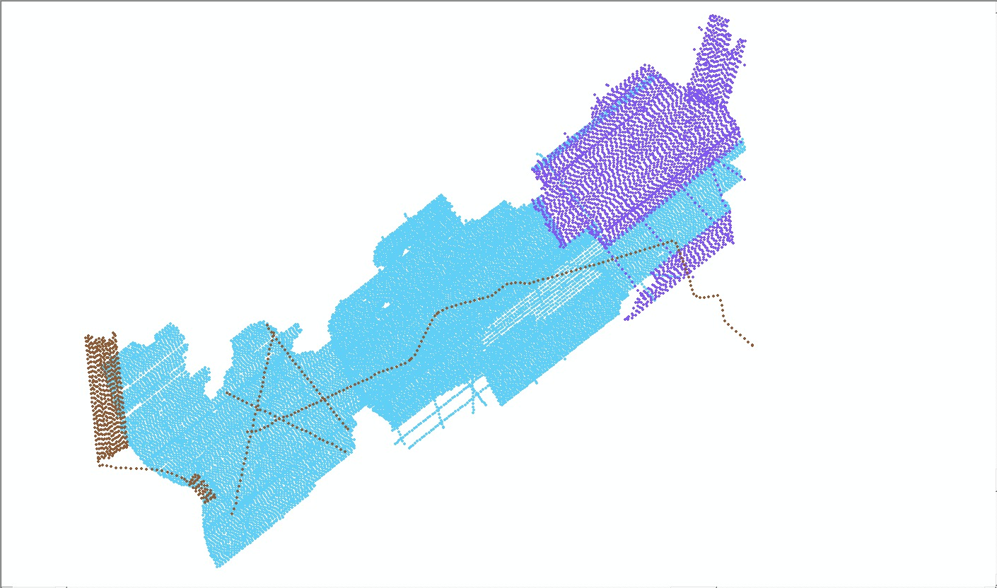
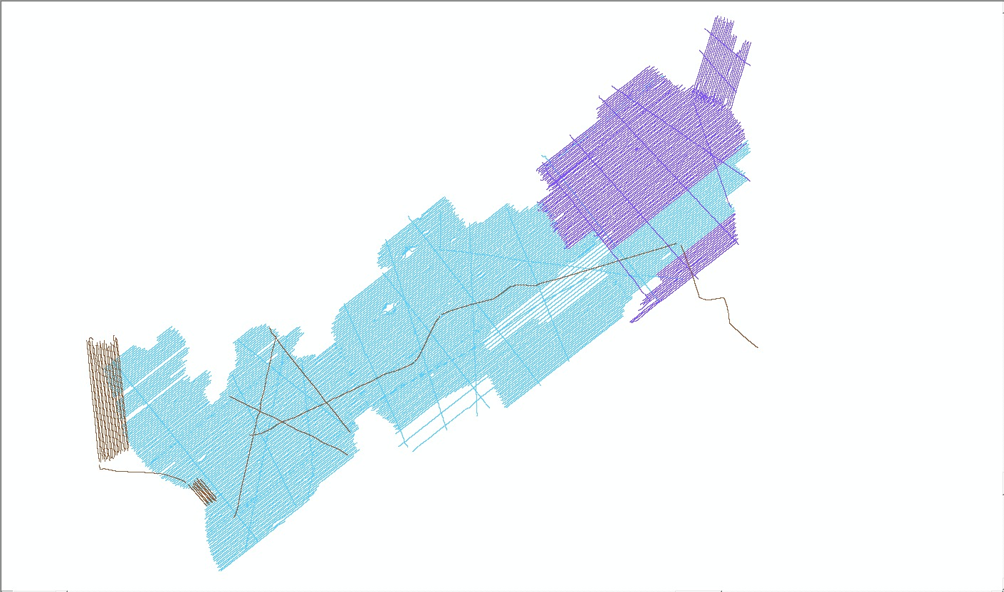
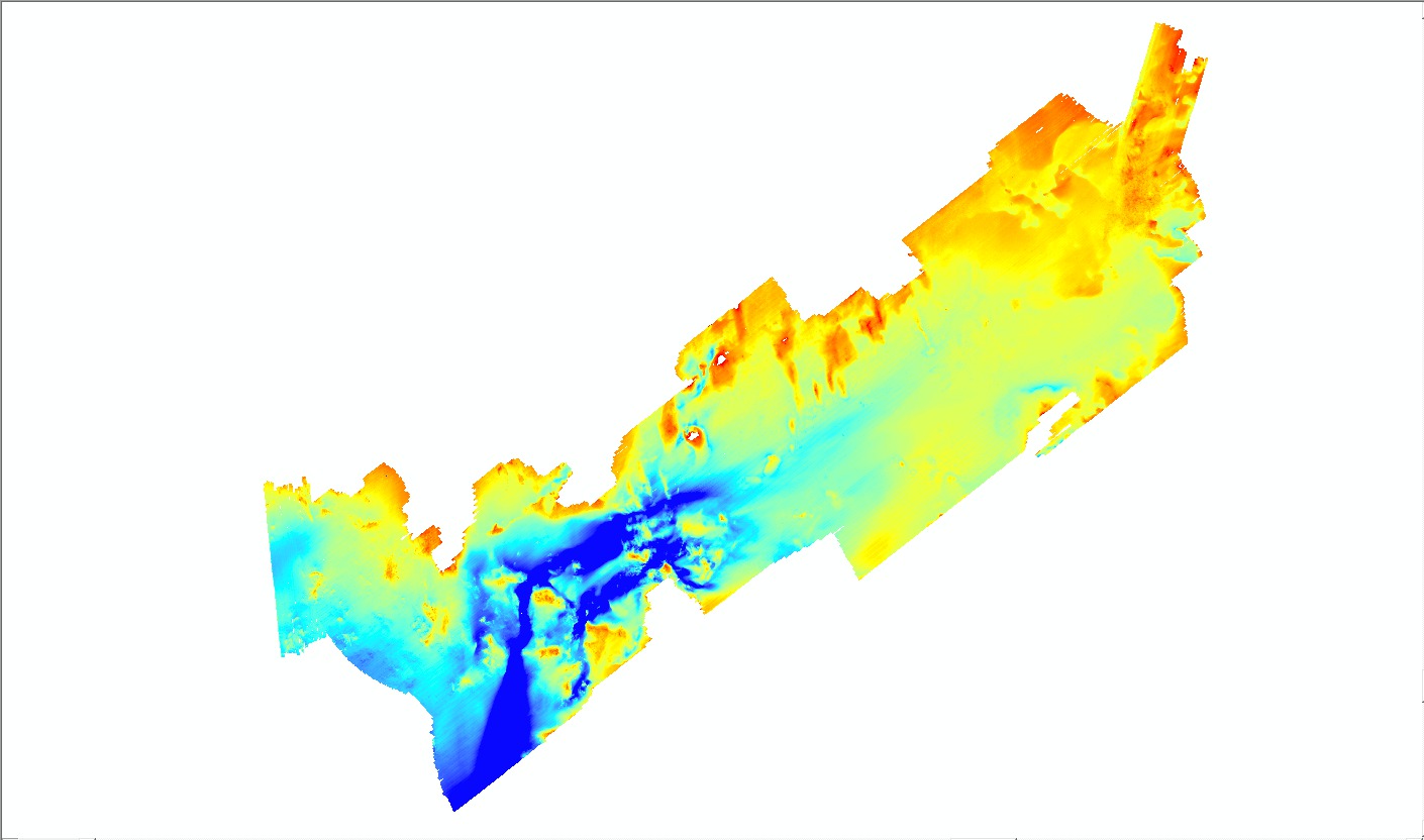
bathy. —Folder containing bathymetry grid of the U.S. Geological Survey (USGS) interferometric and National Oceanic and Atmospheric Administration (NOAA) multibeam echosounder sonar data.
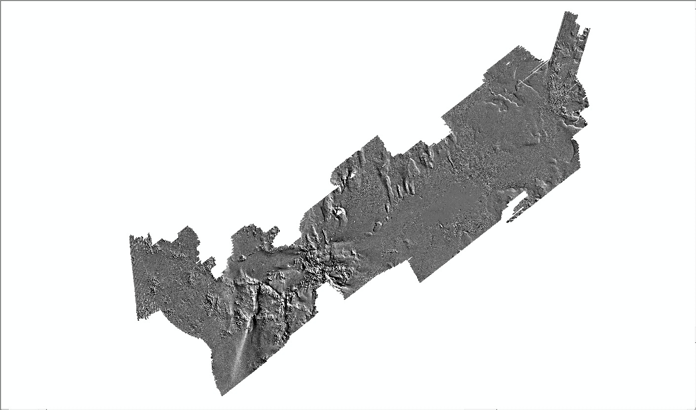
hlshd.—Folder containing hillshade (shaded relief) grid of the bathymetry data.
backscatter.—Folder containing the sidescan-sonar backscatter GeoTIFF mosaic.
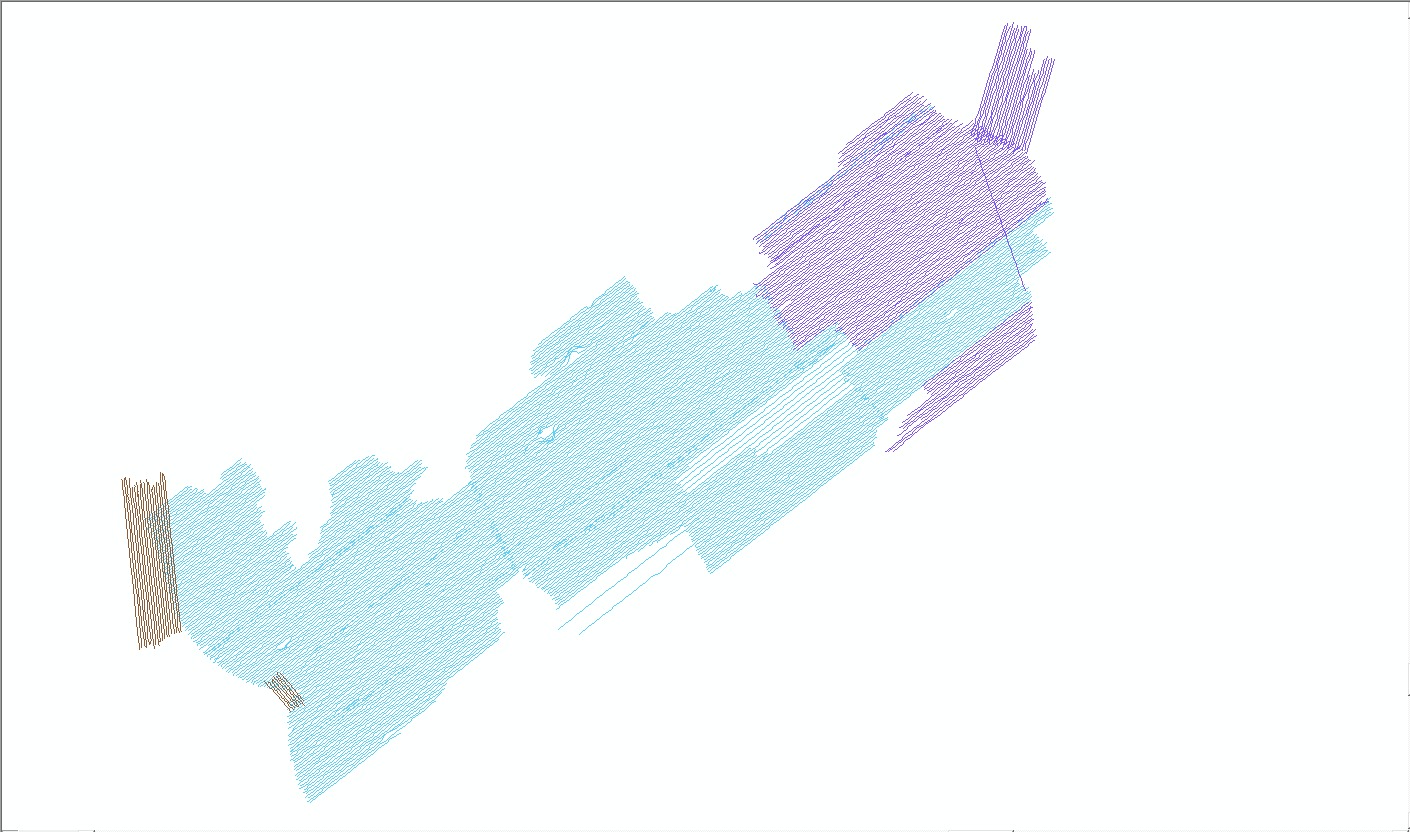
hyperlink_images.—Folder containing seismic profile images in jpeg format. Seismic profile images are hyperlinked to the BB_SeismicTrackline layer in the ArcMap document (mxd) table of contents. Use the hyperlink tool in ArcGIS to click on these survey lines and view the linked image (this is should work flawlessly if the entire contents of the GIS directory is copied from the disc and the seismic profile images are unzipped according to the README.txt instructions included in the hyperlink_images folder).
shapefile.—Folder containing shapefiles in geographic coordinate system WGS84.
navigation.—Folder containing zip compressed raw HYPACK navigation files from USGS surveys 2009-002-FA, 2010-004-FA, and 2011-004-FA.
Data Catalog
Vector Data.—The vector data are stored and delivered in shapefile format in geographic coordinates. The hyperlinks in the “Layer (metadata)” column are linked to the metadata for the shapefile. The link in the "Download" column provides access to a compressed zip file, which contains the shapefile.
Raster Data.—The primary coordinate system for the raster data is WGS84 UTM Zone 19. The link in the "Download" column provides access to a compressed zip file, which contains the raster data.
Raster Layer (metadata) |
Description |
Preview |
Download file
(size) |
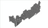
| BB_bathy5m |
5-m bathymetric grid in Esri 32-bit continuous floating point format |

|
Grid
(28 MB) |
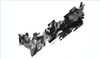
| BB_hlshd5m |
5-m bathymetric hillshade grid in Esri 16-bit continuous signed integer format |
|
Grid
(13 MB) |
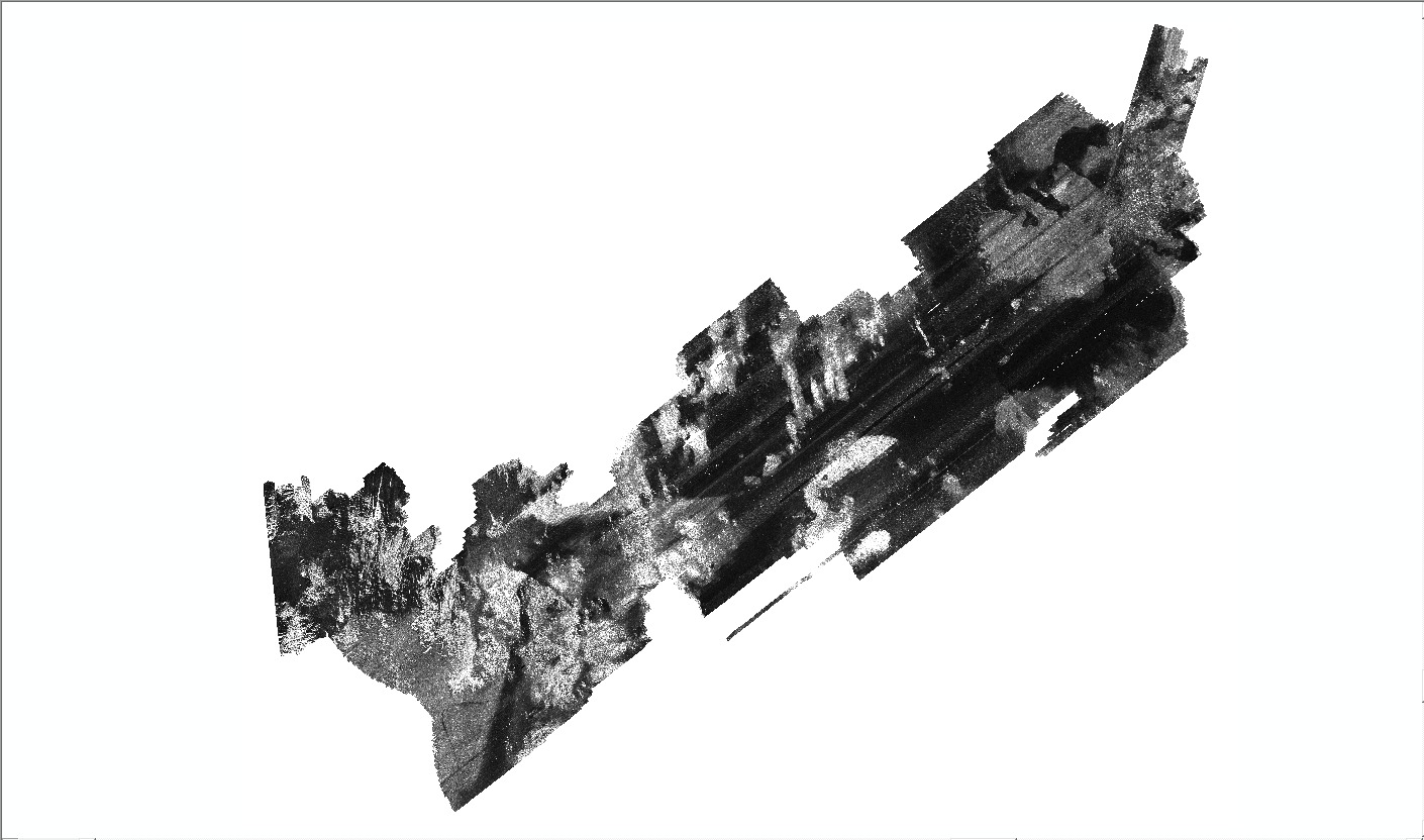
| BB_backscatter1m |
1-m backscatter mosaic of sidescan-sonar data in 8-bit continuous unsigned integer GeoTIFF format |
|
GeoTIFF
(330 MB) |
Image Data.—The link in the "Download" column provides access to a compressed zip file, which contains jpeg format images.
Navigation Data.—The link in the "Download" column provides access to a compressed zip-file, which contains the navigation files.
|