 Abstract Abstract
This report provides a proof-of-concept to demonstrate the potential application of multiple-point geostatistics for characterizing geologic heterogeneity and its effect on flow and transport simulation. The study presented in this report is the result of collaboration between the U.S. Geological Survey (USGS) and Stanford University. This collaboration focused on improving the characterization of alluvial deposits by incorporating prior knowledge of geologic structure and estimating the uncertainty of the modeled geologic units.
In this study, geologic heterogeneity of alluvial units is characterized as a set of stochastic realizations, and uncertainty is indicated by variability in the results of flow and transport simulations for this set of realizations. This approach is tested on a hypothetical geologic scenario developed using data from the alluvial deposits in Yucca Flat, Nevada. Yucca Flat was chosen as a data source for this test case because it includes both complex geologic and hydrologic characteristics and also contains a substantial amount of both surface and subsurface geologic data.
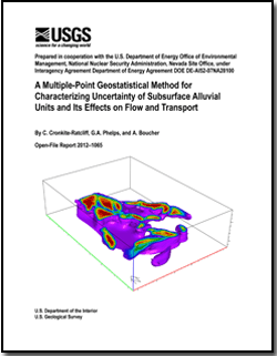
Multiple-point geostatistics is used to model geologic heterogeneity in the subsurface. A three-dimensional (3D) model of spatial variability is developed by integrating alluvial units mapped at the surface with vertical drill-hole data. The SNESIM (Single Normal Equation Simulation) algorithm is used to represent geologic heterogeneity stochastically by generating 20 realizations, each of which represents an equally probable geologic scenario. A 3D numerical model is used to simulate groundwater flow and contaminant transport for each realization, producing a distribution of flow and transport responses to the geologic heterogeneity. From this distribution of flow and transport responses, the frequency of exceeding a given contaminant concentration threshold can be used as an indicator of uncertainty about the location of the contaminant plume boundary.
|
-
This report is available only on the Web.
This report is presented in Portable Document Format (PDF); the latest version of Adobe Reader or similar software is required to view it. Download the latest version of Adobe Reader, free of charge. |

