Open-File Report 2013–1030
|
First posted July 8, 2014 For additional information, contact: Part or all of this report is presented in Portable Document Format (PDF). For best results viewing and printing PDF documents, it is recommended that you download the documents to your computer and open them with Adobe Reader. PDF documents opened from your browser may not display or print as intended. Download the latest version of Adobe Reader, free of charge. More information about viewing, downloading, and printing report files can be found here. |
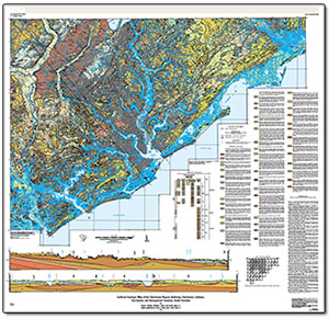
Weems, R.E., Lewis, W.C., and Lemon, E.M., Jr., 2014, Surficial geologic map of the Charleston region, Berkeley, Charleston, Colleton, Dorchester, and Georgetown Counties, South Carolina: U.S. Geological Survey Open-File Report 2013–1030, 1 sheet, scale 1:100,000, http://dx.doi.org/10.3133/ofr20131030.
ISSN 2331–1258 (online)
Explanation of Map Symbols
Description of Map Units
References Cited

![]() U.S. Department of the Interior |
U.S. Geological Survey
U.S. Department of the Interior |
U.S. Geological Survey
URL: http://pubsdata.usgs.gov/pubs/of/2013/1030/index.html
Page Contact Information: GS Pubs Web Contact
Page Last Modified: Tuesday, 08-Jul-2014 14:08:42 EDT