FISC - St. Petersburg
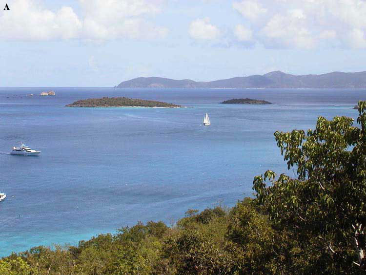
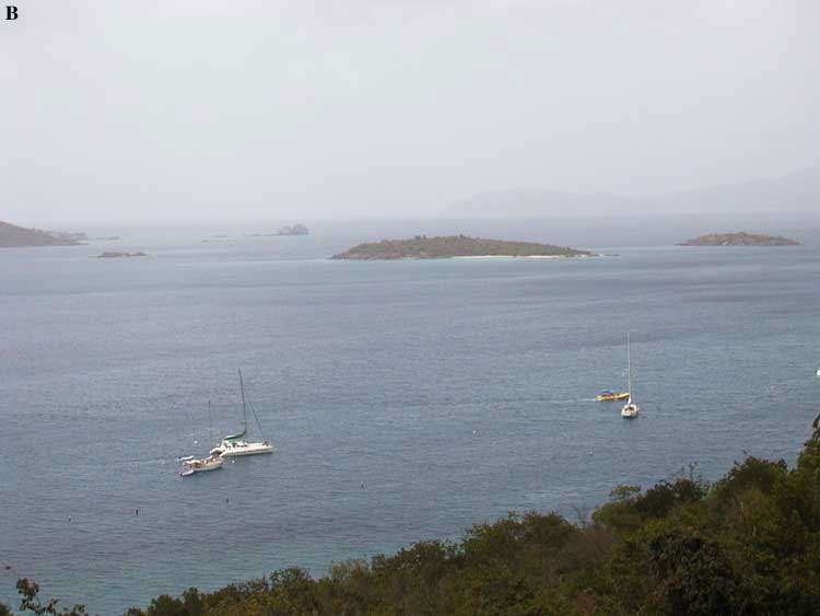
Figure 98. (A) Photo taken on 15 September 2000 during period of normal visibility in the U.S. Virgin Islands. View is northward to Jost van Dyke, British Virgin Islands. The nearest islands are approximately 1 km distant. (B) Photo of same view taken on 28 June 2000 shows visibility when African dust enters the region. Photos are courtesy of Virginia H. Garrison.
|
Can't see the printable PDF version? Get the free Adobe Acrobat® Reader. |

![]() U.S. Department of the Interior |
U.S. Geological Survey
U.S. Department of the Interior |
U.S. Geological Survey
URL: [disc] /pubs/pp/2007/1751/professional-paper/tile7-8/figures/fig98.html
Page Contact Information: Feedback
Page Last Modified: December 01, 2016 @ 04:14 PM (JSS)
