Select image for high resolution and Save to download

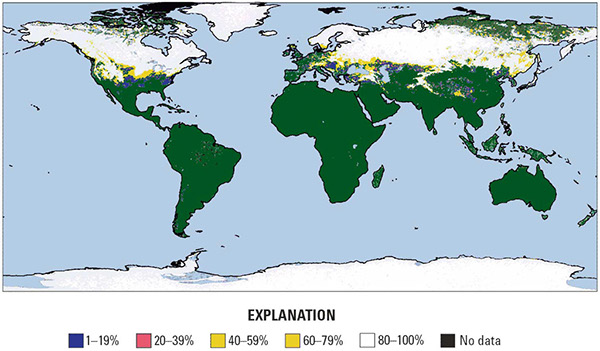
Figure 4–1. Global snow cover map for February 2004 produced from the Moderate-Resolution Imaging Spectroradiometer (MODIS) on NASA’s Terra satellite. The various colors represent percentages of snow cover in each 0.05 degree cell; black represents "no data." Image courtesy of the National Aeronautics and Space Administration (NASA) Goddard Space Flight Center, MODerate resolution Imaging Spectroradiometer (MODIS) Snow and Ice Project. |