Select image for high resolution and Save to download

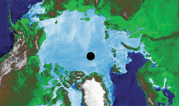
Figure 5–1. Sea ice in the Arctic region on 9 March 2003, shown on an image produced from data from NASA’s Aqua satellite. Delineation of maximum areal extent of sea ice is shown by the boundary between open water (dark blue) and sea ice (lighter blue). |