Select image for high resolution and Save to download

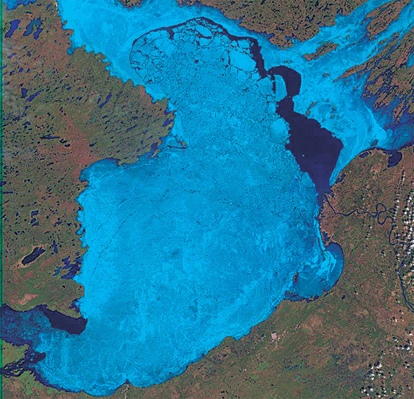
Figure 5–3B. Three Landsat-7 ETM+ images (bands 3, 4, 5) of the breakup of ice on Great Slave Lake, Northwest Territories, Canada (at about latitude 61.5°N., longitude 14.5°W.) on (B) 20 May 2000. |