
Edited by Richard S. Williams, Jr., and Jane G. Ferrigno
1991
Version 1.0
Landsat images, together with aerial photographs, maps, and field measurements,
were used to locate and describe the areal distribution of and changes in glaciers
in Turkey, Iran, and Africa
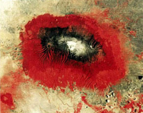
Cover: An enlargement of a Landsat MSS color-composite image
of Kilimanjaro and Mount Meru showing vegetation belts and
the distribution of glaciers
This volume is provided as Adobe Reader PDF files. Download a free copy of Adobe Reader.
| Section of Professional Paper 1386-G | PDF File |
|---|---|
| Front Materials | 200 KB |
| G-1. Glaciers of Turkey | 2.3 MB |
| G-2. Glaciers of Iran | 1.25 MB |
| G-3. Glaciers of Africa | 1.2 MB |
The printed version of this publication is available from:
USGS Information Services, Box 25286,
Federal Center, Denver, CO 80225
e-mail: infoservices@usgs.gov
Telephone: 1-888-ASK-USGS.
For questions about the content of this report, contact Richard S. Williams or Jane G. Ferrigno.
Professional Paper 1386 Home Page
[an error occurred while processing this directive]