![]()
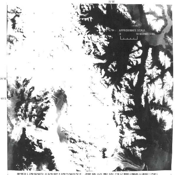
Figure 49.--Landsat 3 RBV image of the Southern Patagonian Ice Field on 8 March 1979. Tephra airfall is visible from the west slope of Cerro (Volcán) Lautaro south to Meseta Caupolicán (first named Comandante), a distance of more than 32 km. On the left border, in the middle, is Lago Greve. Landsat image (30368-13450-D; 8 March 1979, Path 248, Row 94) is from the EROS Data Center, Sioux Falls, S. Dak.
| Click the "Close" box to exit this window. |
U.S. Geological Survey, U.S.Department of the Interior