 |
|
|
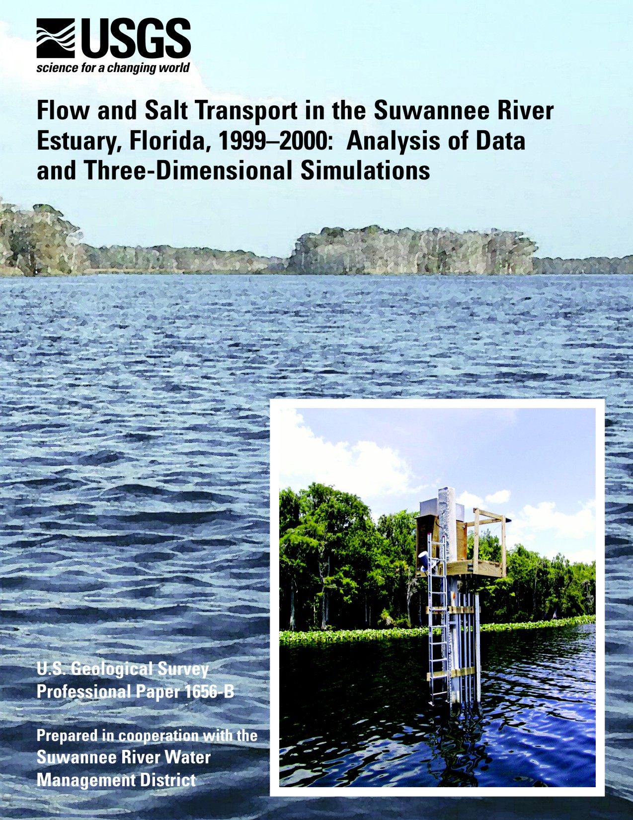
||||
| Florida Science Center |
PP 1656-B
Prepared in cooperation with
Suwannee River Water Management District
2006
 |
Select an option: |
|
CONTENTS Preface Abstract Introduction Purpose and Scope Setting Acknowledgments Methods Data Collection Continuous Data Collection Field Measurements Bathymetry Flow and Transport Modeling Hydrologic Conditions, 1998-2000 Freshwater Flow Water Level and Tides Tidal Flows Salinity Simulation of Hydrodynamics and Salt Transport Application of EFDC to the Suwannee River Estuary Computational Grid Boundary Conditions Flow Tides Salinity Wind Other Model Options and Coefficients Calibration and Testing Tides Flow Salinity Sensitivity Tests Example Applications Summary and Conclusions References Cited |
A three-dimensional numerical model was developed to assist in the evaluation of the effects of changes in freshwater flow on the salinity regime of the lower Suwannee River, its estuary, and Suwannee Sound. Hydrodynamic and salt-transport modeling were supported by data from a comprehensive data-collection network operated in the lower Suwannee River during 1998–2000. The study area included all of the downstream-most 12 kilometers of the Suwannee River, Suwannee Sound, and part of the Gulf of Mexico. Development, calibration, and application of the hydrodynamic and salt-transport model were completed by using data primarily collected during October 1999–September 2000.
Streamflows at Wilcox, Florida, during much of the study period were at record low levels. New record low monthly mean streamflows were established during 11 months of the 24-month data-collection period. Monthly mean flow was above average only during the first 2 months of the study. During water year 2000, monthly mean flows averaged 35 percent of normal, or about 191 cubic meters per second (m3/s) lower than normal.
At the above Gopher River streamgage, measured flows ranged from 558 to -368 m3/s (negative indicates flood, or upstream flow) during October 1999 to September 2000. Flows at the above Gopher River gage were downstream about two-thirds of the time during October 1999–September 2000, a period of extended and record low flows. Total flows were consistently greater at the West Pass streamgage than at the East Pass streamgage, probably because West Pass has greater storage than East Pass, thereby resulting in a greater tidal prism in West Pass. Net flows were much less variable than total flow. For example, net flows at the East Pass streamgage were between 40 and 70 m3/s 70 percent of the time during October 1999–September 2000. In contrast to total flows, net flows generally were higher at the East Pass streamgage than at the West Pass streamgage.
Net freshwater flow increased on average 30 m3/s between Wilcox and the above Gopher River streamgage, a reach representing only about 3 percent of the total basin drainage area. This increase was fairly consistent from month to month. An increase in flow downstream from Wilcox where additional drainage is small likely indicates the presence of a substantial contribution of ground water to the river in this reach. The sum of net flows at the East Pass streamgage and the West Pass streamgage (downstream from the above Gopher River streamgage) generally was less than the net flow at the above Gopher River streamgage, with the average difference during the study period equal to 13 m3/s. It is possible that some of the flow at the above Gopher River streamgage flows south across the marshlands to the Gulf of Mexico rather than returning to the channel during falling tides.
Salinity near the surface (top) at the East Pass gage was less than 1 practical salinity unit (psu) 86 percent of the time during October 1999–September 2000, and was less than 1 psu 77 percent of the time near the bottom. In contrast, salinity at the East Mouth gage (both top and bottom) was greater than 1 psu at least 70 percent of the time. Median salinities at the East Pass, West Pass, and West Mouth gages were less than 2 psu, whereas median salinity at East Mouth gage near the bottom was about 9 psu. Much less difference was noted in salinity between the two sites in West Pass than between the two sites in East Pass. Higher ebb velocities in East Pass, more direct connections between the Gulf and West Pass, and channel geometry likely contributed to the lower upstream migration of salt in East Pass compared to West Pass.
The Environmental Fluid Dynamics Code three-dimensional hydrodynamic and transport model was applied to the study area. The total area encompassed by the model is 1,038.6 square kilometers. The model domain contains 2,385 computational cells in each of 6 horizontal layers, giving a total of 14,310 computational cells.
Measured streamflow at the above Gopher River streamgage was used as the upstream boundary condition for the model. A constant flow of 15 m3/s was added at the east side of East Pass to represent inflows from Dan May Creek and other possible sources. Tidal data collected by the National Ocean Service at Cedar Key were used to construct tidal boundary conditions at all open-water computational cells. Cedar Key tides were shifted in time around the model domain such that the time difference in the arrival of high water at boundary cells between Cedar Key and Horseshoe Point gradually varied from 0 to 15 minutes. Cedar Key tides also were adjusted by -0.05 meter to improve agreement between measured and simulated water levels. Salinity-boundary conditions along the northwestern and southeastern boundaries were assumed to be time-invariant, but did vary horizontally, from 36 psu at the seaward-most computational cell to 20 psu at the shore.
Monthly mean differences between measured and simulated water levels generally were less than 0.2 meter. Measured and simulated amplitudes of the principal diurnal (O1 and K1) and semidiurnal (M2 and S2) harmonics differed by no more than 0.065 meter, and most differed by less than 0.02 meter.
The streamflow amplitude generally was simulated accurately at the East Pass streamgage, but simulated ebb flows were less than measured flows and simulated flood flows were greater than measured. The mean difference between measured and simulated flows was less than 5 percent of the total flow range at the East Pass streamgage during October 1999–September 2000. Simulated streamflows at the West Pass streamgage were less than measured values for both ebb and flood flows. The mean absolute difference between measured and simulated flows for November–December was 6 percent of the total flow range at the site during October 1999–September 2000. Streamflows were simulated quite accurately at site E6, located just upstream from the East Pass-West Pass split, and there was no tendency to over or under simulate flows. There also was good agreement between measured and simulated flows at Wadley Pass and Northern Pass.
Simulated monthly mean salinities at the East Pass gage typically were greater than measured values, with larger differences evident in June and July 2000 than during November–December, 1999. Top simulated salinities agreed more closely with measured values than did bottom salinities. Simulated monthly mean salinities at the East Mouth site agreed very closely with measured values, except for bottom salinities in June–July 2000. Top and bottom simulated maximum salinities that occurred during a tidal cycle were typically less than measured values at both the West Pass and the West Mouth gages, whereas top simulated minimum tidal-cycle salinities were typically greater than measured values. Differences between monthly mean measured and simulated salinities at the Red Bank Reef site were 1 psu or less for November–December 1999, and less than 3 psu for June–July 2000.
The sensitivity of model simulations to changes in selected boundary conditions and model parameters was evaluated by using simulation results from November–December 1999. Simulated flows were unaffected by changes in salinity and wind boundary conditions. Simulated flows and salinities were most sensitive to changes in the bed elevation. Changes in the salinity-boundary conditions did not, however, affect simulated salinities as much as changes in the resistance coefficient or changes in bathymetry.
Bottom elevations for the computational grid near the shore were estimated from navigation charts because digital data were unavailable for these shallow areas. The results of these sensitivity tests indicate the need for accurate bathymetric data, particularly in these shallow regions near the shore where tides, flow, and salinity are strongly affected by bathymetry. Greater resolution of the computational grid in Suwannee Sound might improve salinity simulations in this area, but such refinement would be dependent on better bathymetric data, and computer run times would increase as the number of computational cells increase. Additional improvements in simulations, particularly in Suwannee Sound, require time-varying salinity data on salinity along the model boundaries, and probably data on tidal creek freshwater flows. Inclusion of the saltmarsh area east of East Pass should improve flow and salinity simulations, as well as provide insight into the functioning of the saltmarsh.
Bales, J.D., Tomlinson, S.A., and Tillis, G, 2006, Flow and Salt Transport in the Suwannee River Estuary, Florida, 1999–2000, Analysis of Data and Three-Dimensional Simulations: U.S. Geological Survey Professional Paper 1656-B, 66 p.
U.S. Department of the Interior
U.S. Geological Survey
2010 Levy Avenue
Tallahassee, FL 32310
850-942-9500
jdbales@usgs.gov
| AccessibilityFOIAPrivacyPolicies and Notices | |
 |
|