| Scientific Investigations Map 2838 |
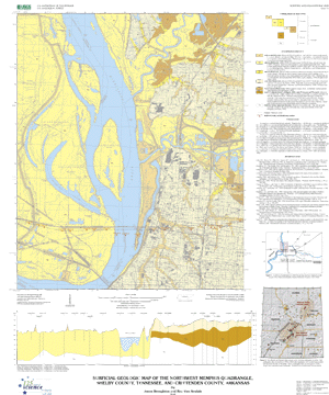
Surficial geologic map of the Northwest Memphis quadrangle, Shelby County, Tennessee, and Crittenden County, Arkansas |
By Jason Broughton and Roy Van Arsdale |
 |
| Version 1.0 |
| The text of this report is presented here in Portable Document Format. The latest version of Adobe Acrobat Reader® or similar software is required to view it. If you wish to download the latest version of Acrobat Reader® free of charge, click here. |
| SIM 2838 PDF file (2.29 MB) | For printing and viewing |
| (This version of the report is accessible as defined in Section 508.) |
| Readme TXT file (2 KB) |
| SIM 2838 MET file (14 KB) | Metadata file |
| 2838.zip (810 KB) | ZIPPED archive of ArcInfo and ArcView files |
| 2838.tar.gz (812 KB) | TARRED and GZIPPED archive of ArcInfo and ArcView files |
| bases.zip (1.64 MB) | ZIPPED archive of base maps images |
| bases.tar.gz (1.64 MB) | TARRED and GZIPPED archive of base maps images |
| AccessibilityFOIAPrivacyPolicies and Notices | |
| |
|