Scientific Investigations Map 2968
|
Report PDF (101 KB) |
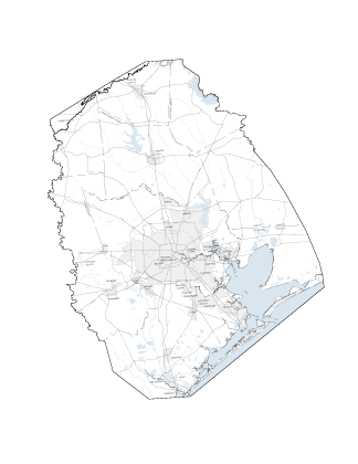
AbstractThis report, done in cooperation with the Harris-Galveston Subsidence District, the City of Houston, the Fort Bend Subsidence District, and the Lone Star Groundwater Conservation District, is one in an annual series of reports that depicts water-level altitudes and water-level changes in the Chicot, Evangeline, and Jasper aquifers, and compaction in the Chicot and Evangeline aquifers in the Houston-Galveston, Texas, region. The report contains 18 sheets and 17 tables: 3 sheets are maps showing current-year (2007) water-level altitudes for each aquifer, respectively; 3 sheets are maps showing 1-year (2006–07) water-level changes for each aquifer, respectively; 3 sheets are maps showing 5-year (2002–07) water-level changes for each aquifer, respectively; 4 sheets are maps showing long-term (1990–2007 and 1977–2007) water-level changes for the Chicot and Evangeline aquifers, respectively; 1 sheet is a map showing long-term (2000–2007) water-level change for the Jasper aquifer; 2 sheets are revisions of previously published water-level-altitude maps for the Jasper aquifer for 2000 and 2002, respectively; 1 sheet is a map showing site locations of borehole extensometers; and 1 sheet comprises graphs showing measured compaction of subsurface material at the sites from 1973 or later through 2006, respectively. Tables listing the data used to construct the aquifer-data maps and the compaction graphs also are included. |
Kasmarek, M.C., and Houston, N.A., 2007, Water-level altitudes 2007 and water-level changes in the Chicot, Evangeline, and Jasper aquifers and compaction 1973–2006 in the Chicot and Evangeline aquifers, Houston-Galveston region, Texas: U.S. Geological Survey Scientific Investigations Map 2968, 159 p., 18 sheets.
Abstract
Introduction
Geohydrology
Water-Level Altitudes and Water-Level Changes
Compaction
References
Appendix—Well Location Maps
| For additional information contact: Director, Texas Water Science Center U.S. Geological Survey 8027 Exchange Drive Austin, Texas 78754-4733 World Wide Web: http://tx.usgs.gov/ |
Document Accessibility: Adobe Systems Incorporated has information about PDFs and the visually impaired. This information provides tools to help make PDF files accessible. These tools convert Adobe PDF documents into HTML or ASCII text, which then can be read by a number of common screen-reading programs that synthesize text as audible speech. In addition, an accessible version of Acrobat Reader 7.0 for Windows (English only), which contains support for screen readers, is available. These tools and the accessible reader may be obtained free from Adobe at Adobe Access. |

![]() U.S. Department of the Interior | U.S. Geological Survey
U.S. Department of the Interior | U.S. Geological Survey
URL: http://pubsdata.usgs.gov/pubs/sim/2007/2968/index.html
Questions or Assistance: Contact USGS
Last modified: Thursday, 01-Dec-2016 17:08:44 EST