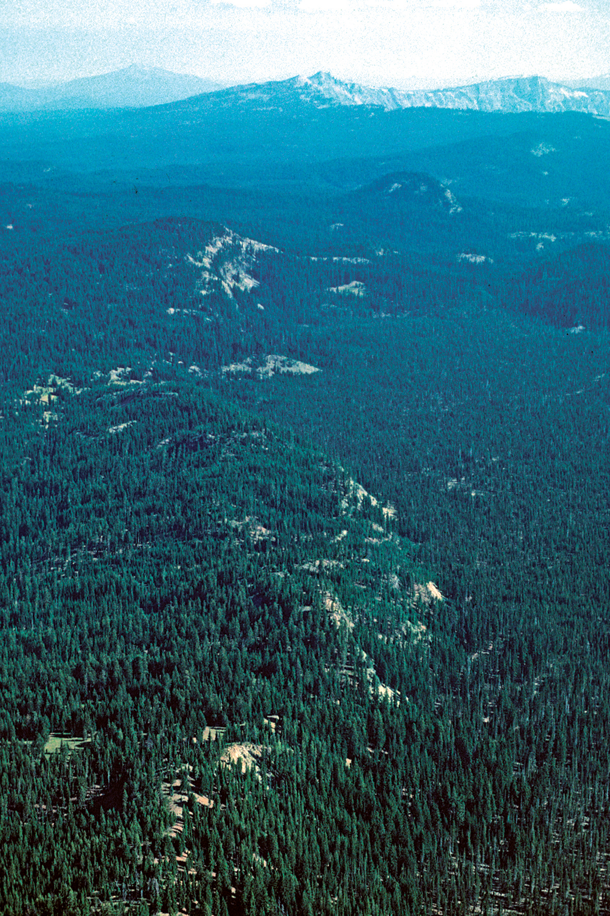
Annie Spring Fault
16. Aerial view towards north over east-facing scarp of Annie Spring fault. Basaltic andesite northwest of Pumice Flat (unit bf; 116±24 ka) forms north-south ridge in foreground that marks a fissure-vent system and also a small shield volcano (with arcuate buff-colored exposure at top) bounding forested Pumice Flat (right center). Forested hill due east of shield is Bear Bluff and coeval tuya (units rbb, 24±3 ka, and ab, respectively). Dark hill in middle distance is Arant Point (unit ati; 297±12 ka), the glaciated intrusive core of a cinder cone that is truncated on the east by the Annie Spring fault and that grew above the source vent for a tuya of the same unit (at) that forms a low mesa east of the fault. The Watchman, Hillman Peak, and Llao Rock are visible on the west and north walls of Crater Lake caldera; Mount Bailey is in the far distance. Between Arant Point and the caldera rim, in line with Llao Rock, is the source vent for dacite north of Castle Creek (unit dcn; 216±4 ka), cut and displaced down to the east by the Annie Spring fault.
Photograph by Charles R. Bacon.