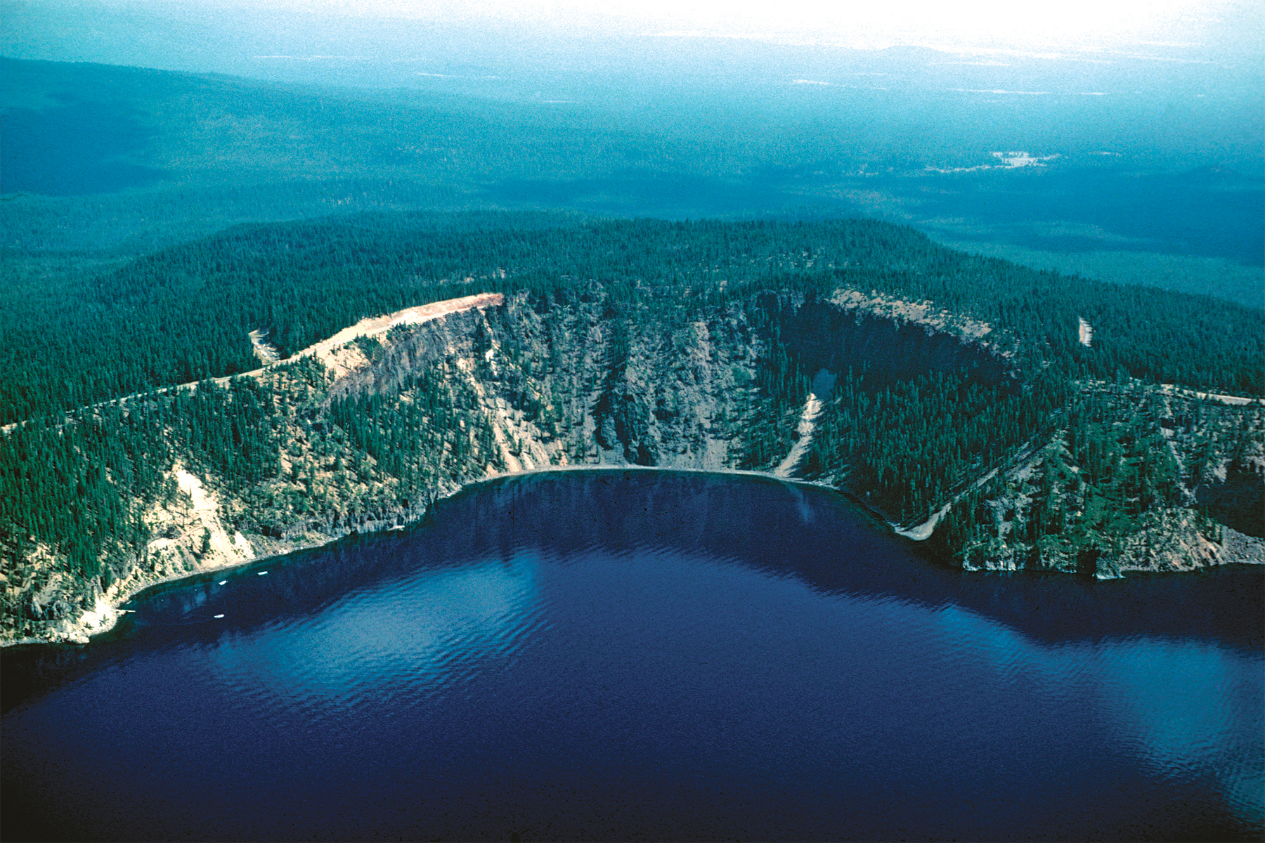
Cleetwood Cove
3. Northeast aerial view of Cleetwood Cove showing cliffs in rhyodacite lava of the Cleetwood flow at caldera rim on either side of tongue of remobilized lava (backflow) that oozed down the fresh caldera wall immediately following collapse of the caldera during the climactic eruption (Panorama G). Tree-covered mesa immediately beyond Rim Drive is the surface of the Cleetwood flow. Brick-red outcrops along Rim Drive are lava and climactic pumice-fall deposit where they oxidized atop the Cleetwood flow, which was still hot when the climactic eruption began. Moored light-blue tour boats and trail to boat landing and lake gauge visible at left and Palisade Point at right. Forested slope on left in middle distance is southeast flank of Timber Crater shield volcano.
Photograph by Charles R. Bacon.