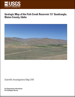
 Abstract Abstract
The Fish Creek Reservoir quadrangle in south-central Idaho lies on the north-central margin of the Cenozoic Snake River Plain at the southern end of the Pioneer Mountains. Rocks exposed in the quadrangle range in age from Paleozoic through Cenozoic. Mesozoic rocks are absent. Though Triassic and Jurassic sedimentary rocks may have been deposited in this area, they have been removed by erosion following uplift and thrusting of the Late Cretaceous to early Tertiary Sevier orogeny. The Late Devonian to Early Mississippian Antler orogeny preceded the Sevier. Ordovician through Devonian rocks of western-derived shale and sandstone facies and eastern carbonate shelf facies are unconformably overlain respectively by Pennsylvanian-Permian Wood River and Mississippian Copper Basin Formations. These two sequences are exposed in structural windows juxtaposed by the Sevier-age Pioneer thrust fault. Interpretive cross-sections accompany the map. Volcanic rocks of the Eocene Challis Volcanic Group, Miocene Idavada Volcanics, and Pleistocene Snake River Group cover parts of the area that remains tectonically active.
|
First posted May 24, 2012
- Data Files
Contains related data, GIS, and Shape files. Refer to the README and metadata files for more information about this dataset.
Part of this report is presented in Portable Document Format (PDF); the latest version of Adobe Reader or similar software is required to view it. Download the latest version of Adobe Reader, free of charge. |