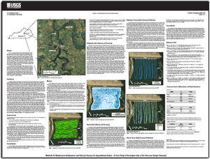
Scientific Investigations Map 3198
|
First posted March 30, 2012 For additional information contact: Part or all of this report is presented in Portable Document Format (PDF); the latest version of Adobe Reader or similar software is required to view it. Download the latest version of Adobe Reader, free of charge. |
Ruby, A.T., III, 2012, Methods for noninvasive bathymetric and velocity surveys for impoundment safety—A case study of Herrington Lake at Dix Dam near Burgin, Kentucky: U.S. Geological Survey Scientific Investigations Map 3198, 1 sheet, available at https://pubs.usgs.gov/sim/3198/.
Abstract
Introduction
Purpose and Scope
Acknowledgments
Methods
Bathymetric Data Collection and Processing
Velocity Data Collection and Processing
Bathmetric Survey Quality Assurance/Calibration
Velocity Survey Quality Assurance/Calibration
Survey Results
References Cited

![]() U.S. Department of the Interior |
U.S. Geological Survey
U.S. Department of the Interior |
U.S. Geological Survey
URL: http://pubsdata.usgs.gov/pubs/sim/3198/index.html
Page Contact Information: GS Pubs Web Contact
Page Last Modified: Thursday, 01-Dec-2016 17:25:13 EST