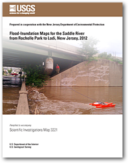
Scientific Investigations Map 3221
|
First posted August 29, 2012 For best performance, right-click and save map sheets to your computer and open with appropriate software.
Map sheets PDF
For additional information contact: Part or all of this report is presented in Portable Document Format (PDF); the latest version of Adobe Reader or similar software is required to view it. Download the latest version of Adobe Reader, free of charge. |
Hoppe, H.L. and Watson, K.M., 2012, Flood-inundation maps for the Saddle River from Rochelle Park to Lodi, New Jersey, 2012: U.S. Geological Survey Scientific Investigations Map 3221, 7 p., 11 sheets, scale 1:12,000. Available online at https://pubs.usgs.gov/sim/3221.
Acknowledgments
Abstract
Introduction
Purpose and Scope
Study Area Description
Previous Studies
Constructing Water-Surface Profiles
Hydrologic and Steady-Flow Data
Topographic/Bathymetric Data
Energy Loss Factors
Model Calibration and Performance
Development of Water-Surface Profiles
Inundation Mapping
Availability of Suncook River, New Hampshire, Flood-Inundation Maps
Disclaimer for Flood-Inundation Maps
Uncertainty Associated with Inundation Maps
Summary
References Cited

![]() U.S. Department of the Interior |
U.S. Geological Survey
U.S. Department of the Interior |
U.S. Geological Survey
URL: http://pubsdata.usgs.gov/pubs/sim/3221/index.html
Page Contact Information: GS Pubs Web Contact
Page Last Modified: Thursday, 01-Dec-2016 17:27:04 EST