 |
|
| |||
| Massachusetts and Rhode Island Water Science Center |
U.S. Geological Survey, Scientific Investigations Report 2006-5054
By Andrew J. Massey, Carl S. Carlson, and Denis R. LeBlanc
Toxic Substances Hydrology Program in cooperation with the Army Environmental Center
This report is available as a 19-page PDF for viewing and printing.
The report cover (11" by 17" tabloid) is also available for viewing and printing.
In January 2002 the U.S. Geological Survey began continuous water-level monitoring in three wells in the vicinity of the Southeast Ranges of Camp Edwards, near the Impact Area of the Massachusetts Military Reservation on Cape Cod. The purpose of this effort was to examine how water levels at sites with different unsaturated-zone thicknesses near the top of the water-table mound beneath western Cape Cod are affected by temporally variable recharge from precipitation, which is the sole source of water to the sand and gravel aquifer. The depths to water at the well sites are about 18, 30, and 101 feet below land surface.
This report presents the first 3 years of water-level records and an estimate of aquifer recharge calculated from climatological measurements by the Jensen and Haise method and the Thornthwaite method. The water levels in the three wells varied temporally by about 4.5 feet during the study period. A comparison of the water levels with those measured in a nearby monitoring well with about 42 years of monthly measurements indicates that the 3-year monitoring period included the lowest water levels on western Cape Cod since the drought of the 1960’s. The response of water levels to recharge was related to the depth to water. Water levels in the two wells with shallow depths to water responded quickly (within hours or days) to recharge, whereas the water-level response in the well with the greatest depth to water often lagged the recharge event by a month or more. The variations in the water levels among the wells changed as the location of the top of the water-table mound moved with the changing water-table altitude.
Abstract
Introduction
Water-Level and Precipitation Observations
Water-Level-Monitoring Equipment
Precipitation Measurements
Estimation of Recharge
Ground-Water Levels at Camp Edwards
Response of Ground-Water Levels to Long-Term Precipitation Trends
Changes in Ground-Water Levels with Individual Precipitation Events
Summary
Acknowledgments
References
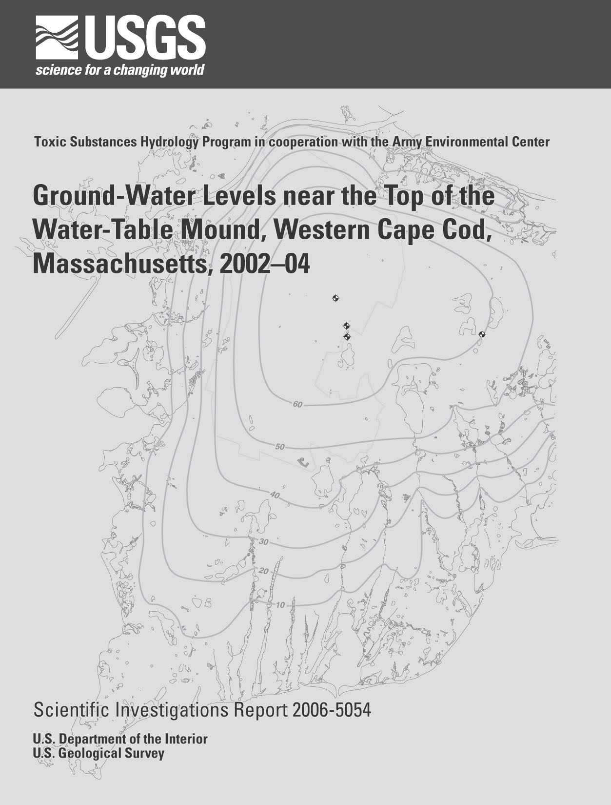
1. Map showing the Southeast Ranges of Camp Edwards military-training area, the simulated water table, monitoring wells, and NOAA weather station KFMH on Otis Air National Guard Base, western Cape Cod, and at East Wareham, Massachusetts.
2. Graphs showing A, manual measurements and hydrographs of continuous water levels recorded in three wells between the Southeast Ranges of Camp Edwards and Snake Pond, western Cape Cod; B, estimated daily recharge; and C, daily precipitation recorded at NOAA weather station KFMH on Otis Air National Guard Base, western Cape Cod, from January 9, 2002, to December 31, 2004.
3-5. Hydrographs showing:
3. A, Monthly water levels measured manually in USGS and well MA-SDW 253, 1962-2004, and continuously in well MA-SDW 525-0109, 2002-2004; and B, water levels measured manually in wells MA-SDW 525-0109, MA-SDW 526-0040, and MA-SDW 527-0055 near the Southeast Ranges of Camp Edwards at the top of the water-table mound, and in well MA-SDW 253 east of Camp Edwards, western Cape Cod, 2002-04.
4. Continuous water levels recorded in three wells between the Southeast Ranges of Camp Edwards and Snake Pond, western Cape Cod, with bar graphs of precipitation and estimated recharge, May through July 2002.
5. Continuous water levels recorded in three wells between the Southeast Ranges of Camp Edwards and Snake Pond, western Cape Cod, with bar graphs of precipitation and estimated recharge, November 2002 through January 2003.
1. Monitoring-well characteristics and water-level-recorder information, Camp Edwards, western Cape Cod, Massachusetts.
2. Characteristics of automated water-level-recording and manual-measurement devices.
3. Monthly and annual precipitation at National Oceanic and Atmospheric Administration Weather Station KFMH at Otis Air National Guard Base, western Cape Cod, 1998-2004.
4. Monthly and annual precipitation for the period 1971 to 2000 at three National Oceanic and Atmospheric Administration weather stations near Otis Air National Guard Base, western Cape Cod.
5. Estimated recharge determined from two daily soil-water balance approaches--Jensen and Haise (1963) and Thornthwaite (1948)--and annual precipitation at Otis Air National Guard Base, western Cape Cod, 2002-04.
This document is available in Portable Document Format (PDF)
To view and print report you will need to use Adobe Acrobat Reader (available as freeware)
Users with visual disabilities can visit Online conversion tools for Adobe PDF documents web page
Printable tabloid cover (1 MB) - 1 page (11" by 17" paper)
Whole report (4.14 MB) - 19 pages (8.5" by 11" paper)
Suggested Citation:
Massey, A.J., Carlson, C.S., and LeBlanc, D.R., 2006, Ground-water levels near the top of the water-table mound, western Cape Cod, Massachusetts, 2002-04: U.S. Geological Survey Scientific Investigations Report 2006-5054, 13 p.
| AccessibilityFOIAPrivacyPolicies and Notices | |
| U.S. Department of the
Interior, U.S. Geological Survey
Persistent URL: https://pubs.water.usgs.gov/sir20065054 Page Contact Information: Publications Team Last modified: Thursday, 01-Dec-2016 19:07:41 EST |
 |