Geographic Analysis and Monitoring Program
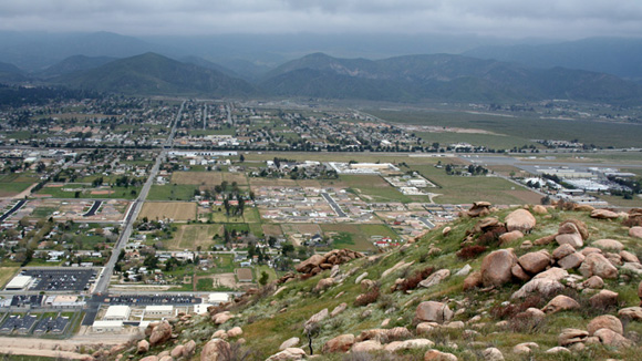
Photograph of development in the foothills of Banning, California
This report presents an assessment of land-use and land-cover (LU/LC) change in the Southern California Mountains ecoregion for the period 1973-2001. The Southern California Mountains is one of 84 Level-III ecoregions as defined by the U.S. Environmental Protection Agency (EPA). Ecoregions have served as a spatial framework for environmental resource management, denoting areas that contain a geographically distinct assemblage of biotic and abiotic phenomena including geology, physiography, vegetation, climate, soils, land use, wildlife, and hydrology. The established Land Cover Trends methodology generates estimates of change for ecoregions using a probability sampling approach and change-detection analysis of thematic land-cover images derived from Landsat satellite imagery.
Download this report as a 22-page PDF file (sir2007-5235.pdf; 920 kB)
For questions about the content of this report, contact Chris Soulard.
Suggested citation and version history
Download a free copy of the latest version of Adobe Reader.
|
Help |
PDF help |
Publications main page |
| Western Scientific Investigations Reports |
| Geography | Geographic Analysis and Monitoring Program
|

![]() U.S. Department of the Interior | U.S. Geological Survey
U.S. Department of the Interior | U.S. Geological Survey
URL: https://pubs.usgs.gov/sir/2007/5235/
Page Contact Information: Michael Diggles
Page Last Modified: January 9, 2008