Scientific Investigations Report 2008–5131
Abstract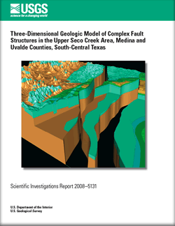
This multimedia report shows and describes digital three-dimensional faulted geologic surfaces and volumes of the lithologic units of the Edwards aquifer in the upper Seco Creek area of Medina and Uvalde Counties in south-central Texas. This geologic framework model was produced using (1) geologic maps and interpretations of depositional environments and paleogeography; (2) lithologic descriptions, interpretations, and geophysical logs from 31 drill holes; (3) rock core and detailed lithologic descriptions from one drill hole; (4) helicopter electromagnetic geophysical data; and (5) known major and minor faults in the study area. These faults were used because of their individual and collective effects on the continuity of the aquifer-forming units in the Edwards Group. Data and information were compared and validated with each other and reflect the complex relationships of structures in the Seco Creek area of the Balcones fault zone. This geologic framework model can be used as a tool to visually explore and study geologic structures within the Seco Creek area of the Balcones fault zone and to show the connectivity of hydrologic units of high and low permeability between and across faults. The software can be used to display other data and information, such as drill-hole data, on this geologic framework model in three-dimensional space. |
Version 1.0 Posted September 2008
For more information concerning this publication, contact: Part or all of this report is presented in Portable Document Format (PDF); the latest version of Adobe Reader or similar software is required to view it. Download the latest version of Adobe Reader, free of charge. |
Pantea, M.P., Cole, J.C., Smith, B.D., Faith, J.R., Blome, C.D., and Smith, D.V., 2008, Three-dimensional geologic model of complex fault structures in the upper Seco Creek area, Medina and Uvalde Counties, South-Central Texas: U.S. Geological Survey Scientific Investigations Report 2008–5131, DVD-ROM, 9 p.
Abstract
Introduction
Geologic Setting
Modeled andMapped Stratigraphy and Lithologic Descriptions
Model Construction and Methodology
Structural Uncertainties in Southeastern Part of Model
Modeled Structure
Conclusions
References Cited

![]() U.S. Department of the Interior | U.S. Geological Survey
U.S. Department of the Interior | U.S. Geological Survey
URL: http://pubsdata.usgs.gov/pubs/sir/2008/5131/index.html
Questions or Assistance: Contact USGS
Last modified: Thursday, 10-Jan-2013 18:54:07 EST
