Scientific Investigations Report 2009–5026
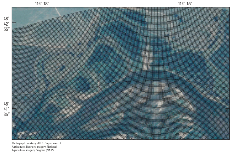
Figure 4. Nodes forming an approximately 10 by 10-meter grid in the multidimensional flow model at river kilometer 247.3 to 249.3 in the braided reach of the Kootenai River near Bonners Ferry, Idaho. |
For additional information contact: Part or all of this report is presented in Portable Document Format (PDF); the latest version of Adobe Reader or similar software is required to view it. Download the latest version of Adobe Reader, free of charge. |

![]() U.S. Department of the Interior | U.S. Geological Survey
U.S. Department of the Interior | U.S. Geological Survey
URL: http://
pubsdata.usgs.gov
/pubs/sir/2009/5026/figure4.html
Page Contact Information: Contact USGS
Page Last Modified:
Thursday, 10-Jan-2013 19:41:54 EST
