 Abstract
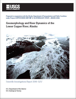
Located in south-central Alaska, the Copper River drains an area of more than 24,000 square miles. The average annual flow of the river near its mouth is 63,600 cubic feet per second, but is highly variable between winter and summer. In the winter, flow averages approximately 11,700 cubic feet per second, and in the summer, due to snowmelt, rainfall, and glacial melt, flow averages approximately 113,000 cubic feet per second, an order of magnitude higher. About 15 miles upstream of its mouth, the Copper River flows past the face of Childs Glacier and enters a large, broad, delta. The Copper River Highway traverses this flood plain, and in 2008, 11 bridges were located along this section of the highway. The bridges cross several parts of the Copper River and in recent years, the changing course of the river has seriously damaged some of the bridges.
Analysis of aerial photography from 1991, 1996, 2002, 2006, and 2007 indicates the eastward migration of a channel of the Copper River that has resulted in damage to the Copper River Highway near Mile 43.5. Migration of another channel in the flood plain has resulted in damage to the approach of Bridge 339. As a verification of channel change, flow measurements were made at bridges along the Copper River Highway in 2005–07. Analysis of the flow measurements indicate that the total flow of the Copper River has shifted from approximately 50 percent passing through the bridges at Mile 27, near the western edge of the flood plain, and 50 percent passing through the bridges at Mile 36–37 to approximately 5 percent passing through the bridges at Mile 27 and 95 percent through the bridges at Mile 36–37 during average flow periods.
The U.S. Geological Survey’s Multi-Dimensional Surface-Water Modeling System was used to simulate water-surface elevation and velocity, and to compute bed shear stress at two areas where the Copper River is affecting the Copper River Highway. After calibration, the model was used to examine the effects that betterments, such as guide banks or bridge extensions, would have on flow conditions and to provide sound conceptual information that could help decide if a proposed betterment will work or determine potential problems that need to be addressed for a particular betterment. The ability of the model to simulate these hydraulic conditions was constrained by the accuracy and level of channel geometry detail, which is constantly changing in the lower Copper River.

