Scientific Investigations Report 2010-5050
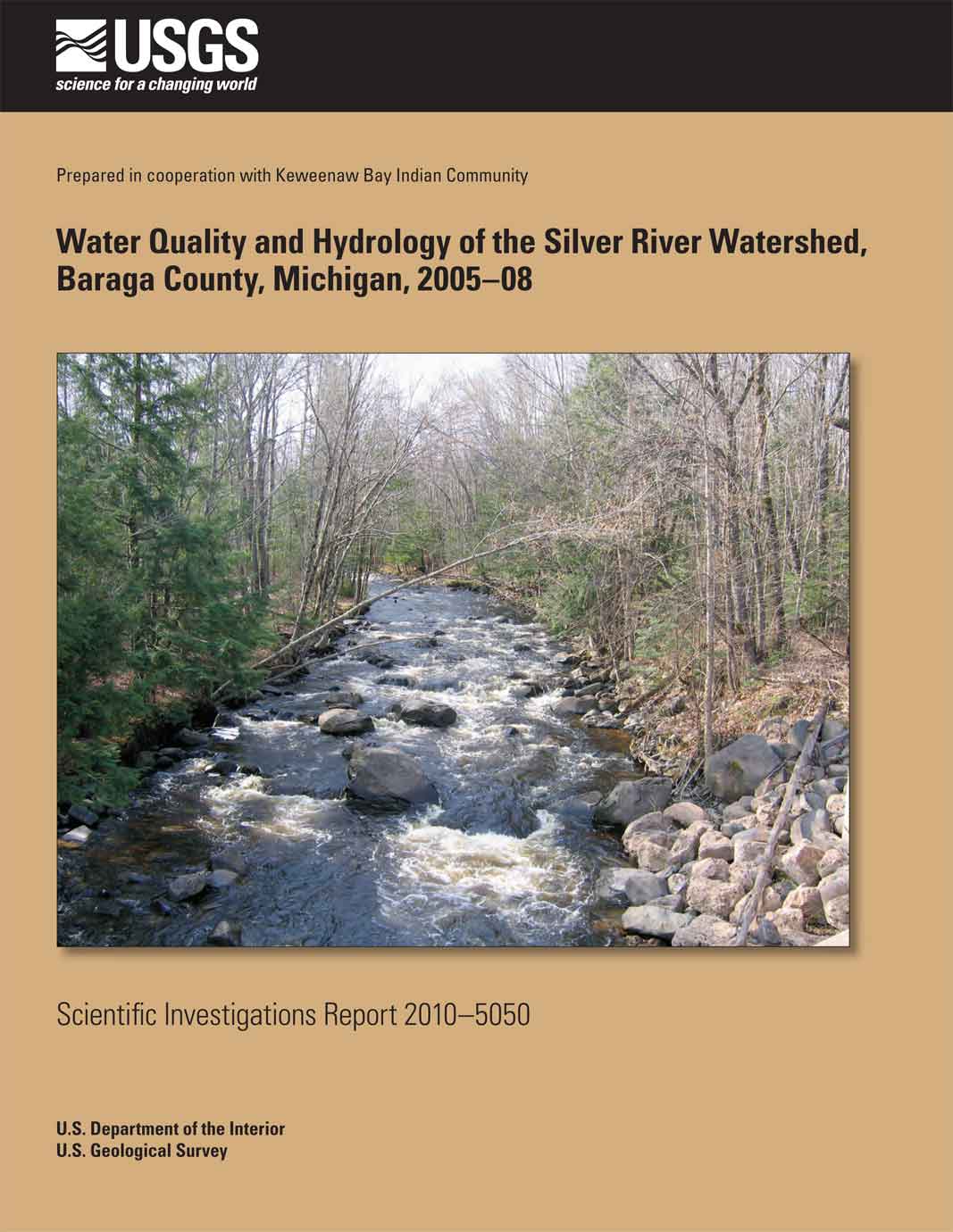
ABSTRACTThe Silver River Watershed comprises about 69 square miles and drains part of northeastern Baraga County, Michigan. For generations, tribal members of the Keweenaw Bay Indian Community have hunted and fished in the watershed. Tribal government and members of Keweenaw Bay Indian Community are concerned about the effect of any development within the watershed, which is rural, isolated, and lightly populated. For decades, the area has been explored for various minerals. Since 2004, several mineral-exploration firms have been actively investigating areas within the watershed; property acquisition, road construction, and subsurface drilling have taken place close to tributary streams of the Silver River. |
First Posted August 2010 For additional information contact: Part or all of this report is presented in Portable Document Format (PDF); the latest version of Adobe Reader or similar software is required to view it. Download the latest version of Adobe Reader, free of charge. |
Weaver, T.L., Sullivan, D.J., Rachol, C.M., and Ellis, J.M., 2010, Water quality and hydrology of the Silver River Watershed, Baraga County, Michigan, 2005–08: U.S. Geological Survey Scientific Investigations Report 2010–5050, 66 p.
Abstract
Introduction
Purpose and Scope
Previous Studies and Data-Collection Efforts
Description of the Study Area
Climate
Geologic Setting
Methods of Data Collection and Analysis
Streamflow
Water-Quality Sampling
Water-Quality Reporting Levels and Analysis
Streambed Sediment and Biological Data
Hydrology of the Silver River Watershed
Streamflow
Silver River Upstream of East Branch
Silver River at Arvon Road
Upper Gomanche Creek at Indian Road
East Branch Tributary to Gomanche Creek at Indian Road
West Branch Tributary to Gomanche Creek
Gomanche Creek at Indian Road
Dakota Creek at Trail Crossing
Silver River near L’Anse
Water Quality of Streams in the Silver River Watershed
Field Water-Quality Parameters, Major Ions, Alkalinity, Nutrients, Metals, and Cyanide
Field Water-Quality Parameters, Major Ions, and Alkalinity
Nutrients
Nickel and Copper
Mercury
Mercury Cycling in Aquatic Systems
Cyanide
Mercury Cycling in Aquatic Systems
The Elements of a Boxplot
Statistical Analysis of Water-Quality Data and Comparison to Water-Quality Guidelines
Bed-Sediments Analysis
Comparison to Sediment-Quality Guidelines
Grain-Size Distribution
Ecological Investigation
Fishes
Macroinvertebrate Sampling
Summary and Conclusions
Acknowledgments
References Cited
Appendixes

![]() U.S. Department of the Interior |
U.S. Geological Survey
U.S. Department of the Interior |
U.S. Geological Survey
[an error occurred while processing this directive]
URL: http://pubsdata.usgs.gov
Page Contact Information: Contact USGS
Page Last Modified: Thursday, 10-Jan-2013 19:16:31 EST
