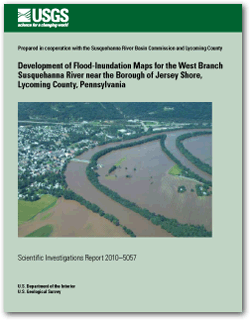
Scientific Investigations Report 2010–5057
|
First posted October 28, 2011 For additional information contact: Part or all of this report is presented in Portable Document Format (PDF); the latest version of Adobe Reader or similar software is required to view it. Download the latest version of Adobe Reader, free of charge. |
Roland, M.A., and Hoffman, S.A., 2011, Development of flood-inundation maps for the West Branch Susquehanna River near the Borough of Jersey Shore, Lycoming County, Pennsylvania: U.S. Geological Survey Scientific Investigations Report 2010–5057, 9 p.
Abstract
Introduction
Hydrologic Analysis
Hydraulic Analysis
Development of Flood-Inundation Maps
Comparison of Flood-Inundation Map to Aerial Photograph
Summary
Acknowledgments
References Cited

![]() U.S. Department of the Interior |
U.S. Geological Survey
U.S. Department of the Interior |
U.S. Geological Survey
URL: http://pubsdata.usgs.gov/pubs/sir/2010/5057/index.html
Page Contact Information: GS Pubs Web Contact
Page Last Modified: Thursday, 10-Jan-2013 19:24:26 EST