Scientific Investigations Report 2011–5041

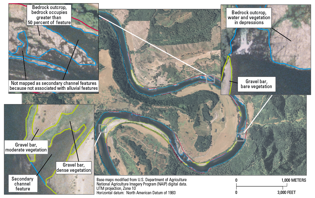
Figure 15. Examples of mapping units used when creating historical channel maps of the Umpqua River basin, Oregon. |
First posted September 29, 2011 For additional information contact: Part or all of this report is presented in Portable Document Format (PDF); the latest version of Adobe Reader or similar software is required to view it. Download the latest version of Adobe Reader, free of charge. |