Scientific Investigations Report 2011-5194
|
First posted November 2, 2011
For additional information contact: Part or all of this report is presented in Portable Document Format (PDF); the latest version of Adobe Reader or similar software is required to view it. Download the latest version of Adobe Reader, free of charge. |
Holmes, R.R., Jr., and Wagner, D.M., 2011, Flood of June 11, 2010, in the Upper Little Missouri River watershed, Arkansas: U.S. Geological Survey Scientific Investigations Report 2011-5194, 31 p.
Acknowledgments
Abstract
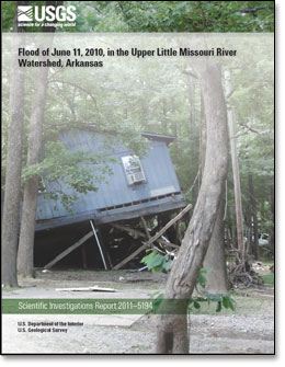
Introduction
The Setting
The Storm
The Flood: Hydrologic Analysis
The Aftermath
Comparison with Other Floods
Summary
References Cited

![]() U.S. Department of the Interior |
U.S. Geological Survey
U.S. Department of the Interior |
U.S. Geological Survey
URL: http://pubsdata.usgs.gov/pubs/sir/2011/5194/index.html
Page Contact Information: GS Pubs Web Contact
Page Last Modified: Tuesday, 12-Aug-2025 13:20:46 EDT