Scientific Investigations Report 2012–5017
  
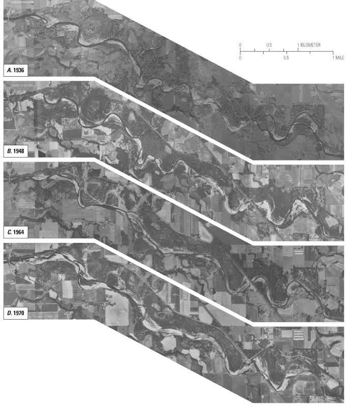
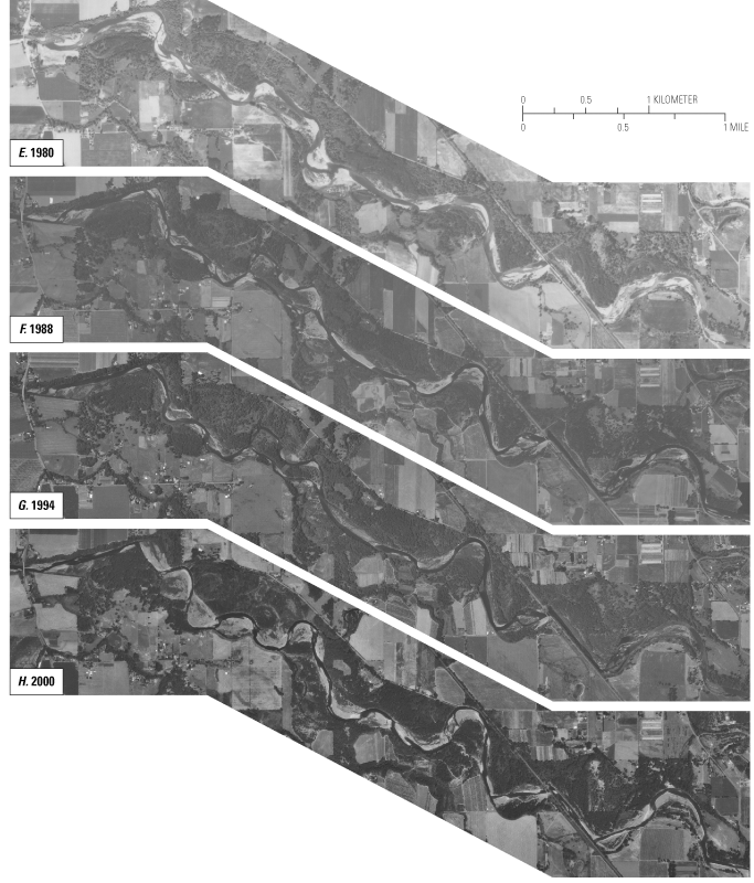
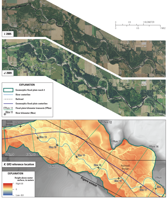
Figure 20. Paneled mosaics of imagery of the river corridor in geomorphic reach 3 (GR3) for all available sets of aerial imagery. (Panel K shows the height-of-water-surface (HAWS) map along GR3 with Goods Bridge and the railroad bridge labeled and the river-stationing coordinates.) |
First posted February 29, 2012 For additional information contact: Part or all of this report is presented in Portable Document Format (PDF); the latest version of Adobe Reader or similar software is required to view it. Download the latest version of Adobe Reader, free of charge. |