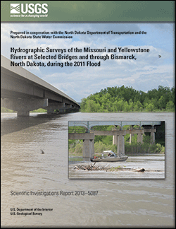
Scientific Investigations Report 2013–5087
|
First posted May 29, 2013 For additional information contact: Part or all of this report is presented in Portable Document Format (PDF); the latest version of Adobe Reader or similar software is required to view it. Download the latest version of Adobe Reader, free of charge. |
Densmore, B.K., Strauch, K.R., and Dietsch, B.J., 2013, Hydrographic surveys of the Missouri and Yellowstone Rivers at selected bridges and through Bismarck, North Dakota, during the 2011 flood: U.S. Geological Survey Scientific Investigations Report 2013–5087, 59 p., http://pubs.usgs.gov/sir/2013/5087/.
Abstract
Introduction
Methods of Study
Hydrographic Surveys on the Missouri and Yellowstone Rivers at Selected Bridges
Hydrographic Surveys of the Missouri River through Bismarck, North Dakota
General Results of Hydrographic Surveys during the 2011 Flood on the Missouri and Yellowstone Rivers in North Dakota
Summary
References Cited
Glossary

![]() U.S. Department of the Interior |
U.S. Geological Survey
U.S. Department of the Interior |
U.S. Geological Survey
URL: http://pubsdata.usgs.gov/pubs/sir/2013/5087/index.html
Page Contact Information: GS Pubs Web Contact
Page Last Modified: Wednesday, 29-May-2013 10:50:42 EDT