Scientific Investigations Report 2013–5128
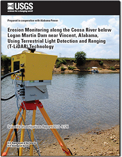
AbstractAlabama Power operates a series of dams on the Coosa River in east central Alabama. These dams form six reservoirs that provide power generation, flood control, recreation, economic opportunity, and fish and wildlife habitats to the region. The Logan Martin Reservoir is located approximately 45 kilometers east of Birmingham and borders Saint Clair and Talladega Counties. Discharges below the reservoir are controlled by power generation at Logan Martin Dam, and there has been an ongoing concern about the stability of the streambanks downstream of the dam. The U.S. Geological Survey, in cooperation with Alabama Power conducted a scientific investigation of the geomorphic conditions of a 115-meter length of streambank along the Coosa River by using tripod-mounted terrestrial light detection and ranging technology. Two surveys were conducted before and after the winter flood season of 2010 to determine the extent and magnitude of geomorphic change. A comparison of the terrestrial light detection and ranging datasets indicated that approximately 40 cubic meters of material had been eroded from the upstream section of the study area. The terrestrial light detection and ranging data included in this report consist of electronic point cloud files containing several million georeferenced data points, as well as a surface model measuring changes between scans. |
First posted July 9, 2013
For additional information contact: Part or all of this report is presented in Portable Document Format (PDF); the latest version of Adobe Reader or similar software is required to view it. Download the latest version of Adobe Reader, free of charge. |
Kimbrow, D.R., and Lee, K.G., 2013, Erosion monitoring along the Coosa River below Logan Martin Dam near Vincent, Alabama, using terrestrial light detection and ranging (T-LiDAR) technology: U.S. Geological Survey Scientific Investigations Report 2013–5128, 7 p., http://pubs.usgs.gov/sir/2013/5128.
Abstract
Introduction
Data Collection Methods
Geomorphic Assessment
Electronic Data Format
Summary
References Cited

![]() U.S. Department of the Interior |
U.S. Geological Survey
U.S. Department of the Interior |
U.S. Geological Survey
URL: http://pubsdata.usgs.gov/pubs/sir/2013/5128/index.html
Page Contact Information: GS Pubs Web Contact
Page Last Modified: Tuesday, 16-Jul-2013 15:15:30 EDT
