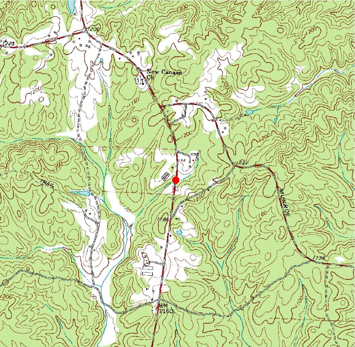
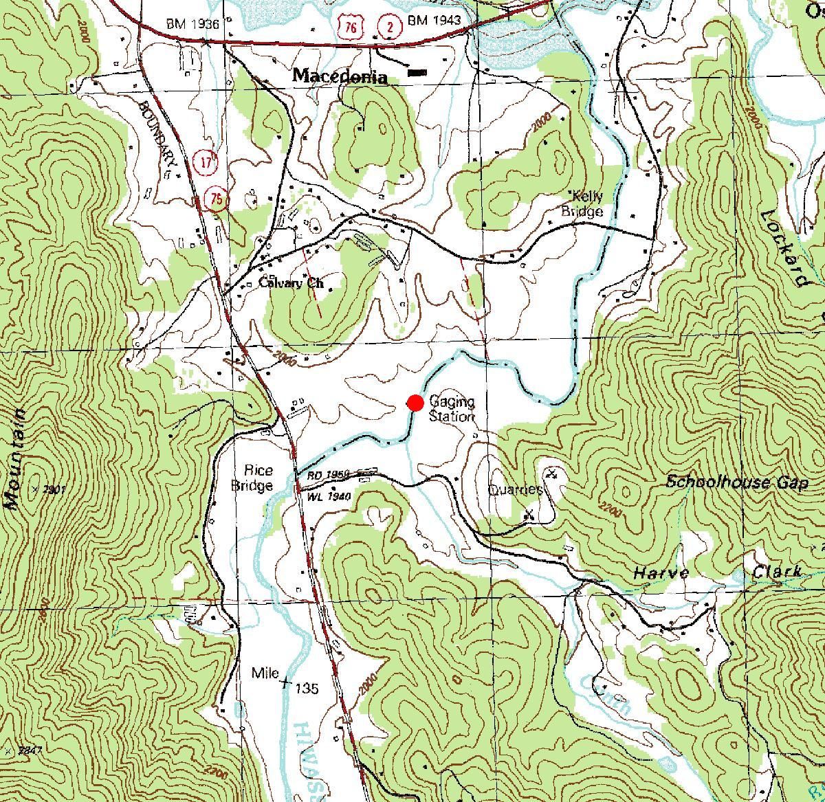
The following list contains currently operated partial-record
crest-stage stations on streams within the State of Georgia and
its border with adjacent States. The station summary pages for
the following stations contain annual maximum discharges for
crest-stage stations. A crest-stage gage is a device which will
register the peak stage occurring between inspections of the
gage. A stage-discharge relation for each gage is developed
from discharge measurements made by indirect measurements of
peak flow or by current meter. The date of the maximum
discharge is not always certain, but is usually determined by
comparison with nearby continuous-record stations, weather
records, or local inquiry.
Click on the station name for a
station summary page, including data for the current year, in PDF
format. Click on Datafile for a text file of the
historical data for that station. Datafiles for crest-stage
stations are in WATSTORE
standard format for peak streamflow data.
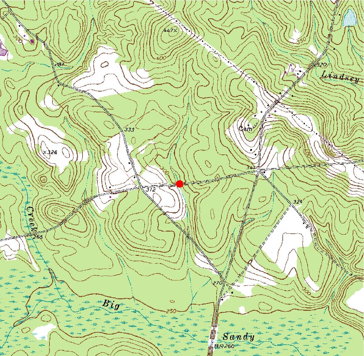
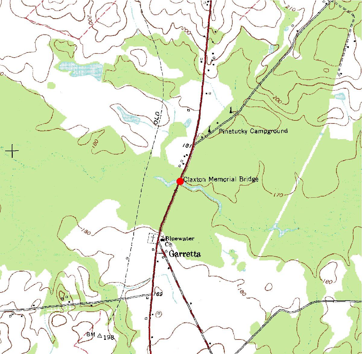
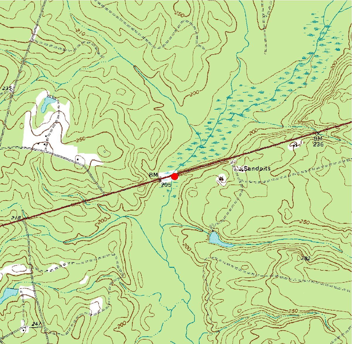
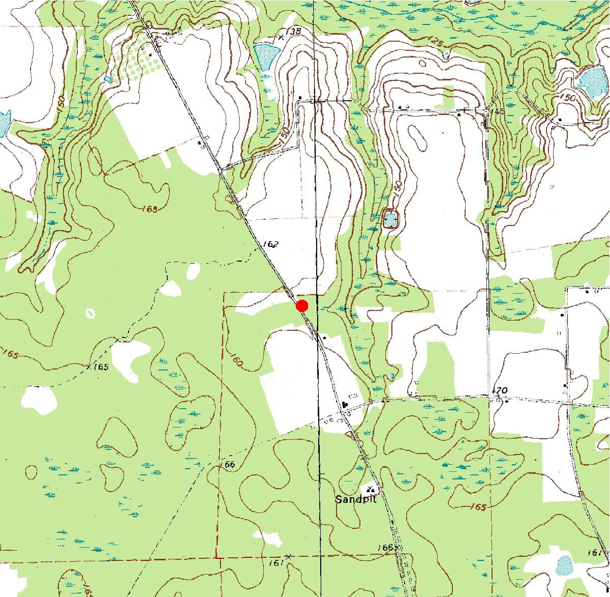
Station
number | Station name and link to station
summary page
| Latitude | Longitude | Datafile
Link | Map Link |
| 02191930 | Buffalo Creek near Lexington, Ga. |
33°46'40" | 83°03'01" | Datafile | Map |
| 02195150 | Kiokee Creek (US Highway 221) at Appling, Ga. |
33°32'33" | 82°18'56" | Datafile | Map |
| 02197190 | Mcbean Creek at US Route 25 near Mcbean, Ga. |
33°14'12" | 82°02'38" | Datafile | Map |
| 02200000 | Ogeechee River (Ga. Highway 16) at Jewell, Ga. |
33°17'48" | 82°46'40" | Datafile | Map |
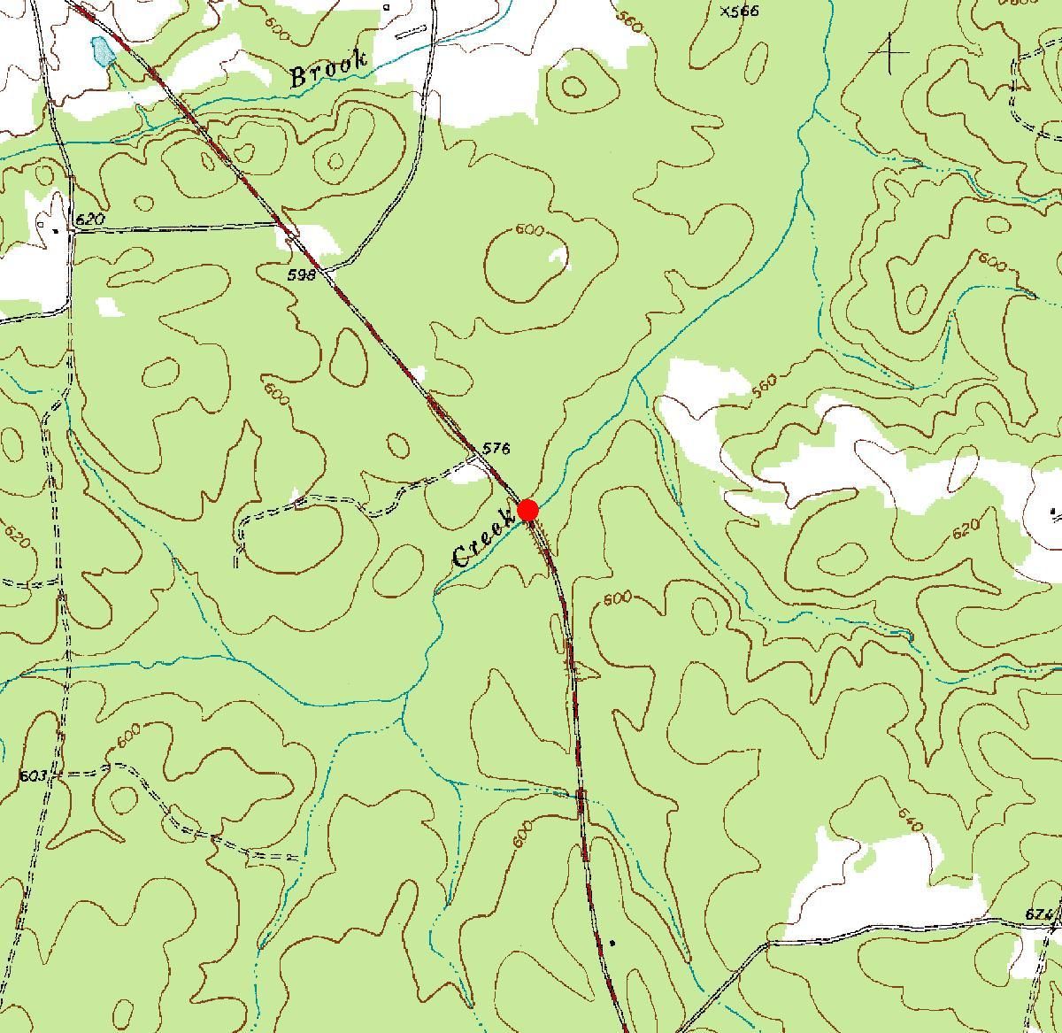
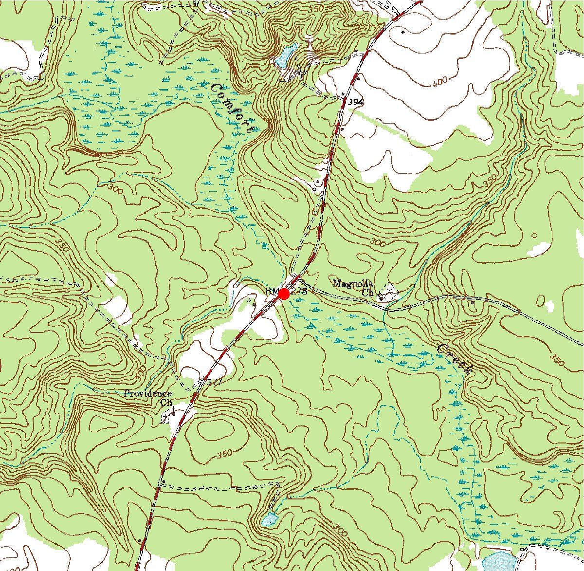
| 02200400 | Rocky Comfort Creek at State Route 88 near Grange, Ga. | 33°06'09" | 82°34'02" | Datafile | Map |
| 02200930 | Spring Creek near Louisville, Ga. | 32°55'20" | 82°18'49" | Datafile | Map |
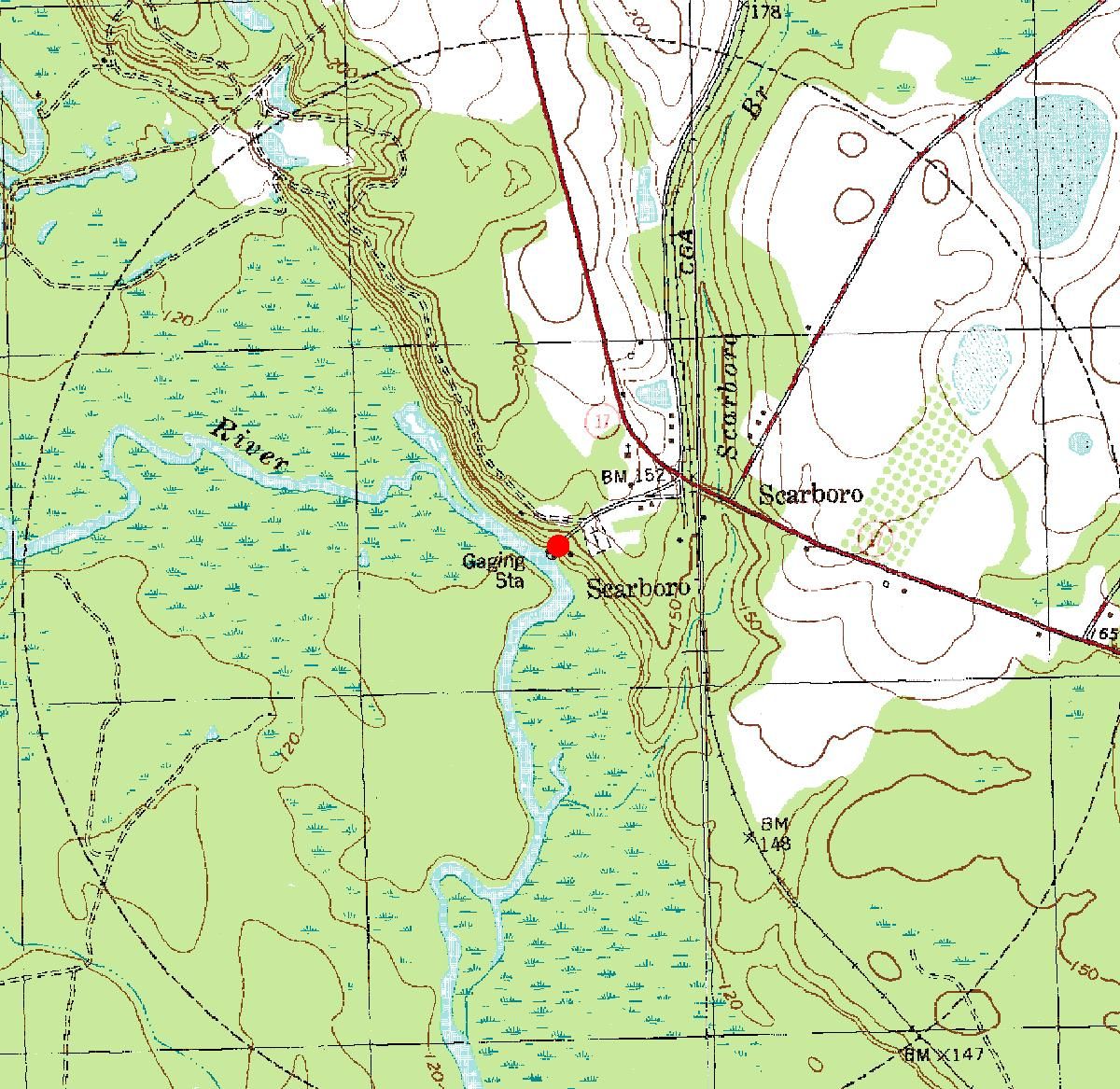
| 02202000 | Ogeechee River at Scarboro, Ga. | 32°42'38" | 81°52'46" | Datafile | Map |
| 02204135 | Camp Creek Tributary at State Route 155 near Stockbridge, Ga. | 33°34'35" | 84°08'51" | Datafile | Map |
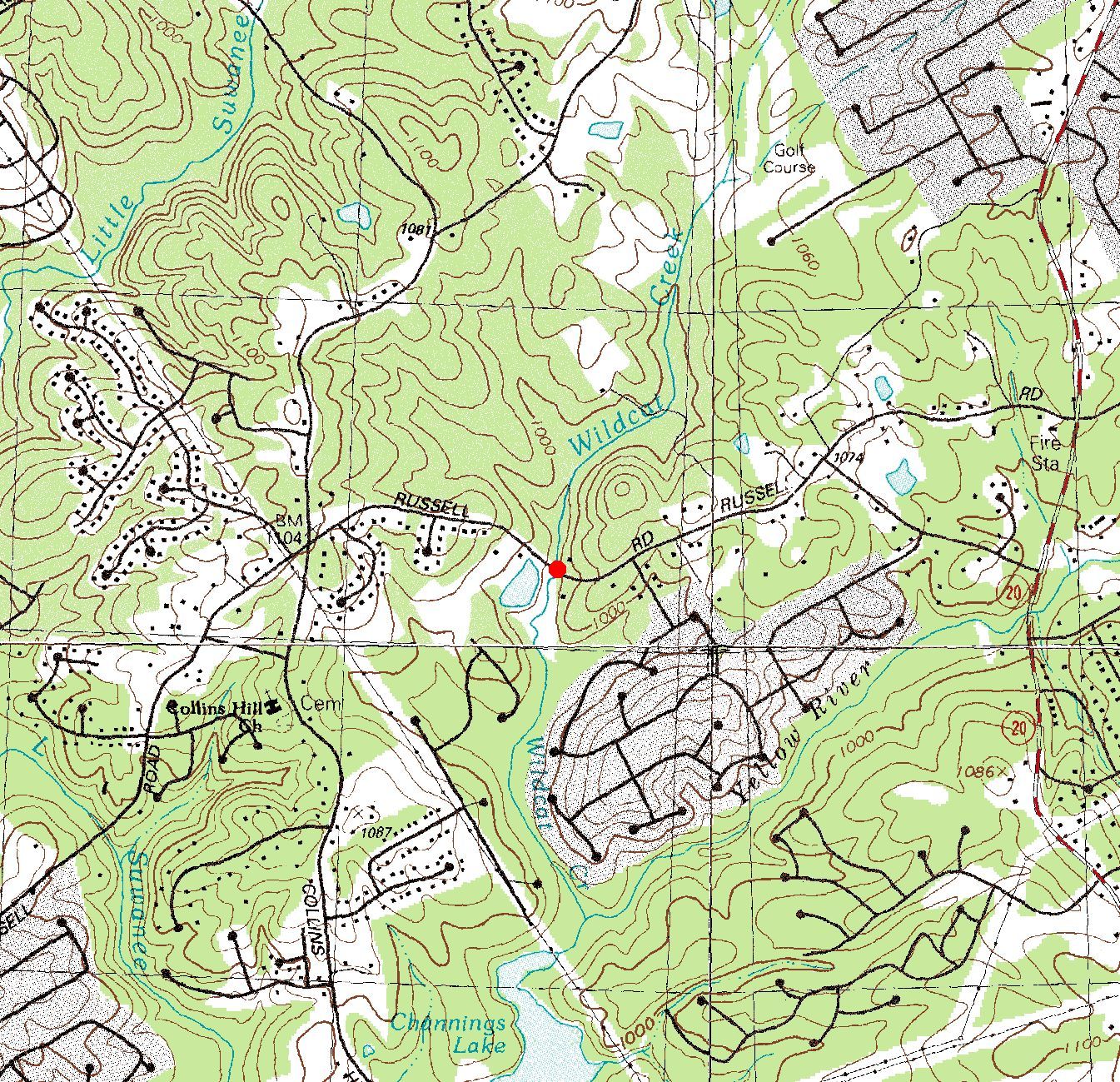
| 02205000 | Wildcat Creek near Lawrenceville, Ga. | 34°00'05" | 84°00'20" | Datafile | Map |
| 02205230 | Wolf Creek (Dean Rd) near Suwanee, Ga. | 34°00'04" | 84°02'57" | Datafile | Map |
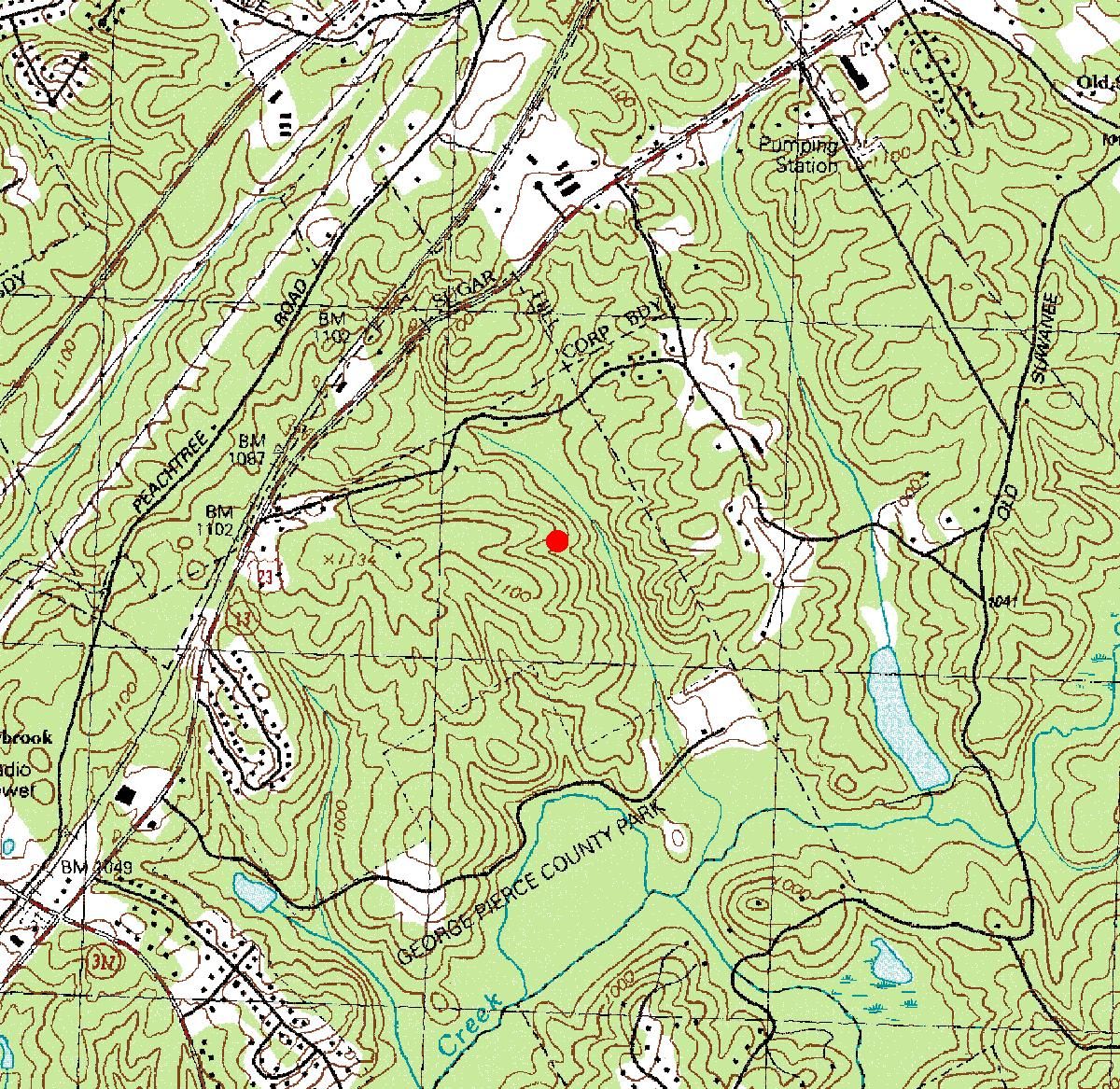
| 02205500 | Pew Creek near Lawrenceville, Ga. | 33°56'05" | 84°01'00" | Datafile | Map |
| 02205596 | Yellow River Tributary at Plantation Road near Lawrenceville | 33°54'45" | 84°02'45" | Datafile | Map |
| 02206105 | Jackson Creek (Angels Lane) near Lilburn, Ga. | 33°53'12" | 84°12'42" | Datafile | Map |
| 02206136 | Jackson Creek Tributary #1 (Williams Rd) near Lilburn, Ga. | 33°53'19" | 84°10'59" | Datafile | Map |
| 02206165 | Jackson Creek Tributary #2 (Worchester Pl) near Lilburn, Ga. | 33°54'09" | 84°10'01" | Datafile | Map |
| 02206465 | Watson Creek Tributary #2 (Tanglewood Dr) at Snellville, Ga. | 33°51'46" | 84°02'07" | Datafile | Map |
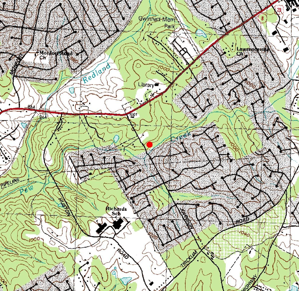
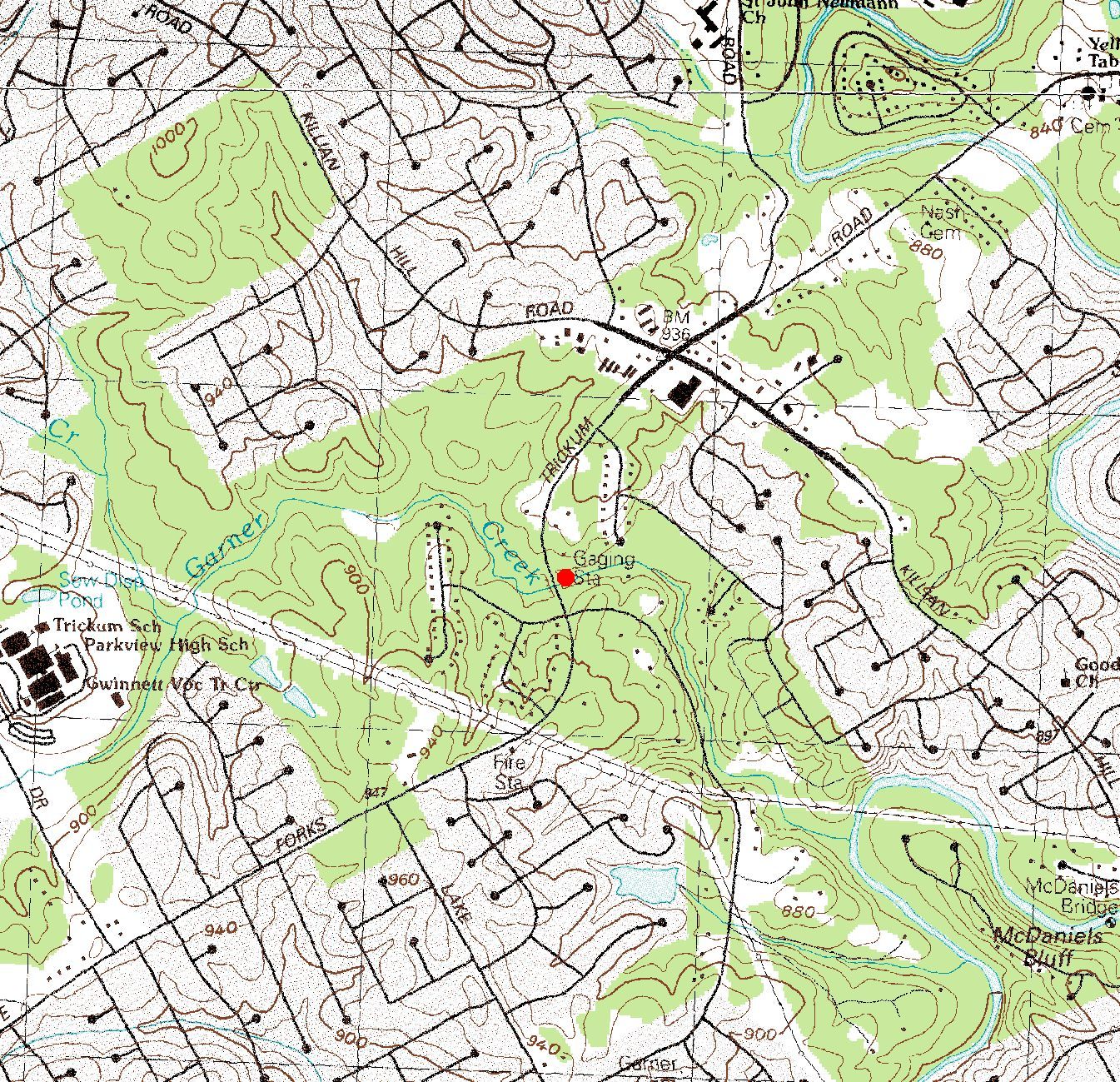
| 02207000 | Garner Creek near Snellville, Ga. | 33°51'45" | 84°05'50" | Datafile | Map |
| 02207382 | Big Haynes Creek at Pate Road near Snellville | 33°49'38" | 83°59'04" | Datafile | Map |
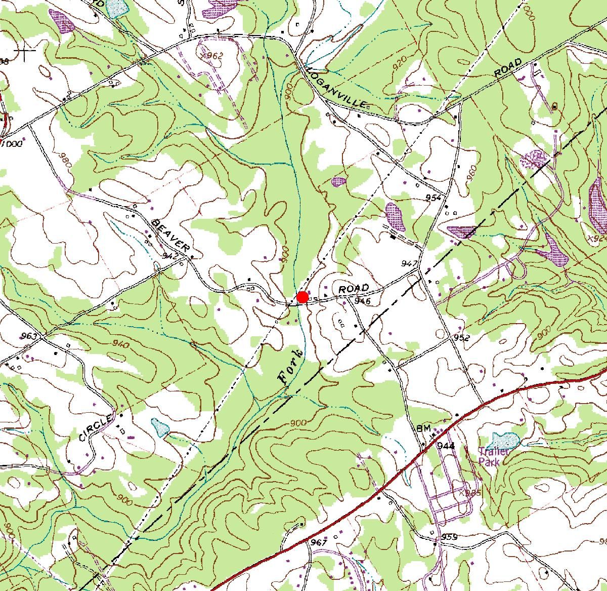
| 02207400 | Brushy Fork Creek at Beaver Road near Loganville | 33°49'17" | 83°56'33" | Datafile | Map |
| 02207500 | Yellow River near Covington, Ga. | 33°36'52" | 83°54'54" | Datafile | Map |
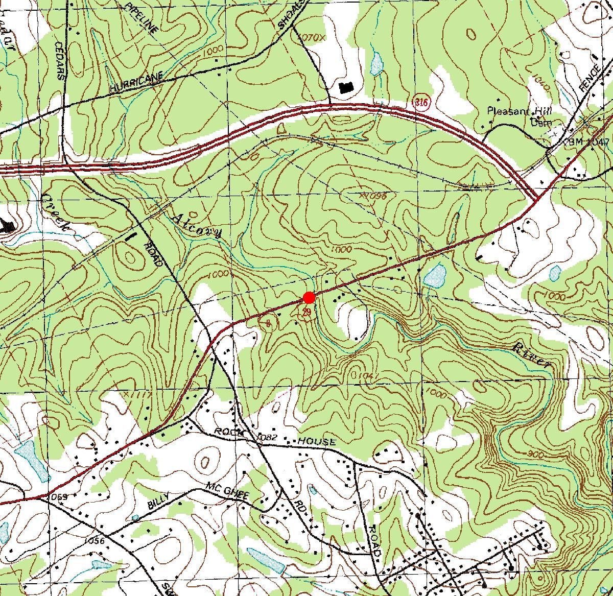
| 02208050 | Alcovy River near Lawrenceville, Ga. | 33°58'40" | 83°56'23" | Datafile | Map |
| 02208177 | Cedar Creek at Indian Shoals Road near Dacula | 33°54'49" | 83°50'45" | Datafile | Map |
| 02208192 | Bay Creek at Shannon Road near Loganville, Ga. | 33°52'36" | 83°52'54" | Datafile | Map |
| 02214280 | Savage Creek at US 23 near Bullard, Ga. | 32°35'34" | 83°28'11" | Datafile | Map |
| 02214820 | Mossy Creek at US 41 near Perry, Ga. | 32°31'15" | 83°43'23" | Datafile | Map |
| 02215245 | Folsom Creek Tributary near Rochelle, Ga. | 32°00'15" | 83°25'58" | Datafile | Map |
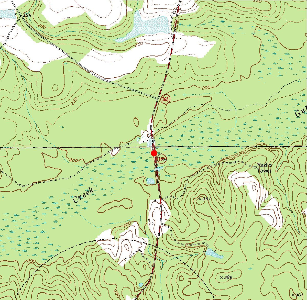
| 02215800 | Gum Swamp Creek (Ga. Highway 165) near Chauncey, Ga. | 32°07'28" | 83°03'37" | Datafile | Map |
| 02217274 | Wheeler Creek at Bill Cheek Road near Auburn | 34°04'56" | 83°51'17" | Datafile | Map |
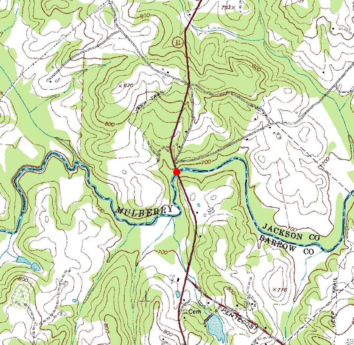
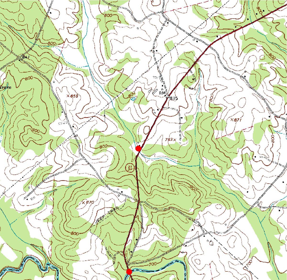
| 02217380 | Mulberry River (Ga. Highway 11) near Winder, Ga. | 34°03'08" | 83°39'49" | Datafile | Map |
| 02217400 | Mulberry River Tributary near Winder, Ga. | 34°03'53" | 83°39'45" | Datafile | Map |
| 02218565 | Apalachee River at Fence Road near Dacula, Ga. | 34°00'37" | 83°53'39" | Datafile | Map |
| 02223082 | Buffalo Creek (County Road) near Linton, Ga. | 33°06'27" | 82°57'34" | Datafile | Map |
| 02223349 | Big Sandy Creek Tributary near Irwinton, Ga. | 32°48'12" | 83°13'40" | Datafile | Map |
| 02224100 | Turkey Creek (US Highway 441) near Dublin, Ga. | 32°27'21" | 82°56'32" | Datafile | Map |
| 02225250 | Little Ohoopee River at US 80 near Swainsboro, Ga. | 32°33'44" | 82°28'03" | Datafile | Map |
| 02225330 | Beaver Creek near Cobbtown, Ga. | 32°16'52" | 82°11'27" | Datafile | Map |
| 02227422 | Crooked Creek Tributary near Bristol, Ga. | 31°26'25" | 82°15'03" | Datafile | Map |
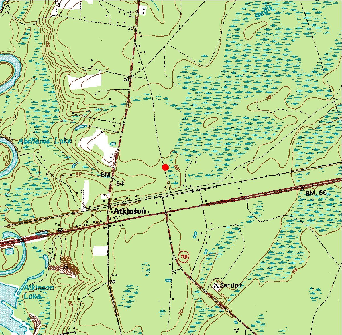
| 02227990 | Satilla River Tributary No 2 at Atkinson, Ga. | 31°13'35" | 81°50'50" | Datafile | Map |
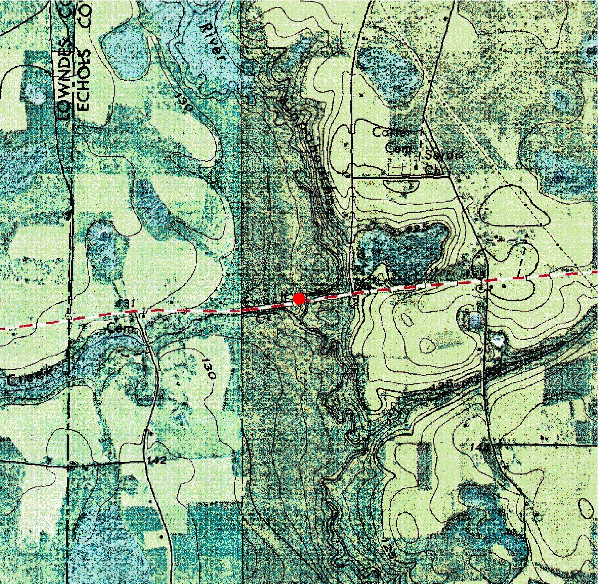
| 02317600 | Little River (Ga. Highway 376) near Statenville, Ga. | 30°42'13" | 83°07'18" | Datafile | Map |
| 02317810 | Arnold Creek Tributary near Tifton, Ga. | 31°25'30" | 83°34'23" | Datafile | Map |
| 02327350 | Ochlockonee River Tributary near Coolidge, Ga. | 31°01'33" | 83°57'32" | Datafile | Map |
| 02327355 | Ochlockonee River at State Route 188 near Coolidge, Ga. | 31°00'08" | 83°56'21" | Datafile | Map |
| 02327415 | Little Ochlockonee River at State Route 111 near Moultrie, Ga. | 31°07'02" | 83°58'42" | Datafile | Map |
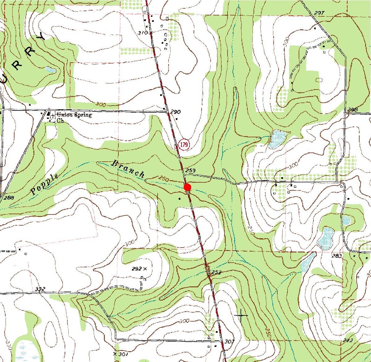
| 02327860 | Popple Branch at State Route 179 near Whigham, Ga. | 30°55'36" | 84°20'18" | Datafile | Map |
| 02331000 | Chattahoochee River near Leaf, Ga. | 34°34'37" | 83°38'09" | Datafile | Map |
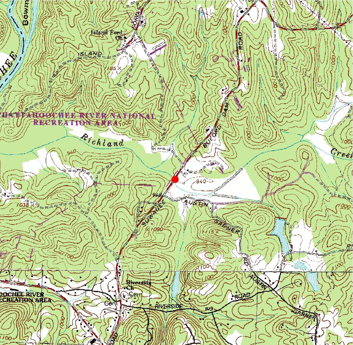
| 02334480 | Richland Creek near Buford, Ga. | 34°07'57" | 84°04'12" | Datafile | Map |
| 02334580 | Level Creek at Settles Bridge Road near Suwanee, Ga. | 34°05'03" | 84°05'39" | Datafile | Map |
| 02334880 | Mill Creek at Wildwood Road near Suwanee, Ga. | 34°01'41" | 84°04'12" | Datafile | Map |
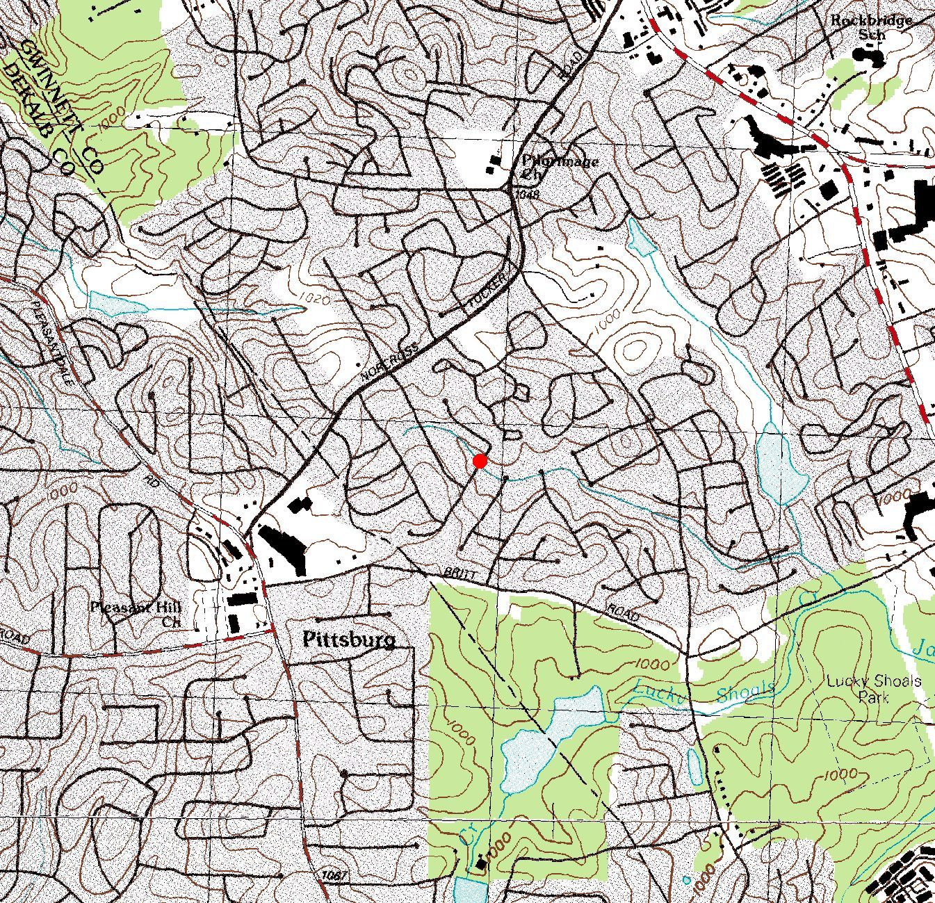
| 02335347 | Crooked Creek Tributary #2 (Holcomb Br Rd) near Norcross, Ga. | 33°57'24" | 84°14'43" | Datafile | Map |
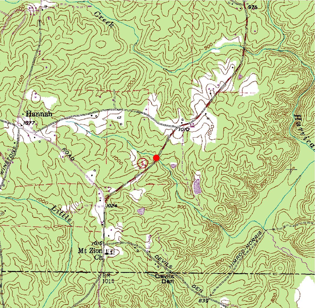
| 02337448 | Hurricane Creek Tributary at State Route 5 near Fairplay, Ga. | 33°35'03" | 84°50'54" | Datafile | Map |
| 02340250 | Flat Shoal Creek (Ga. Highway 18) near West Point, Ga. | 32°53'53" | 85°04'41" | Datafile | Map |
| 02341220 | Mulberry Creek near Mulberry Grove, Ga. | 32°42'11" | 84°57'29" | Datafile | Map |
| 02341600 | Juniper Creek near Geneva, Ga. | 32°31'41" | 84°34'14" | Datafile | Map |
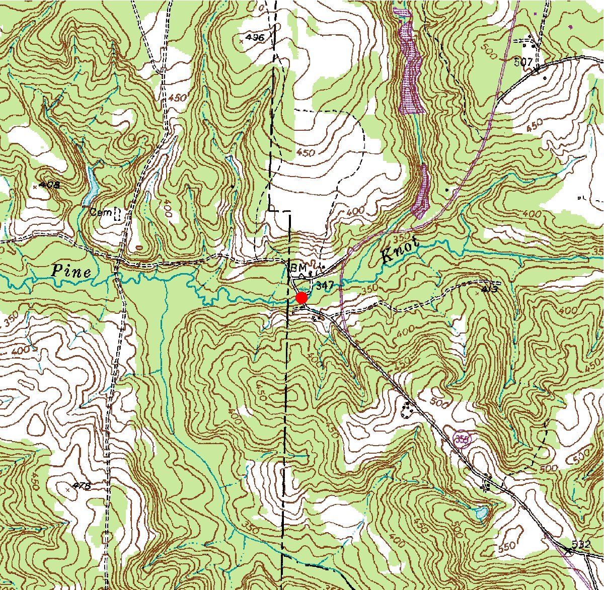
| 02341723 | Pine Knot Creek at State Route 355 near Juniper, Ga. | 32°26'14" | 84°39'25" | Datafile | Map |
| 02341900 | Ochillee Creek at Hourglass Road near Cussetta, Ga. | 32°21'53" | 84°49'02" | Datafile | Map |
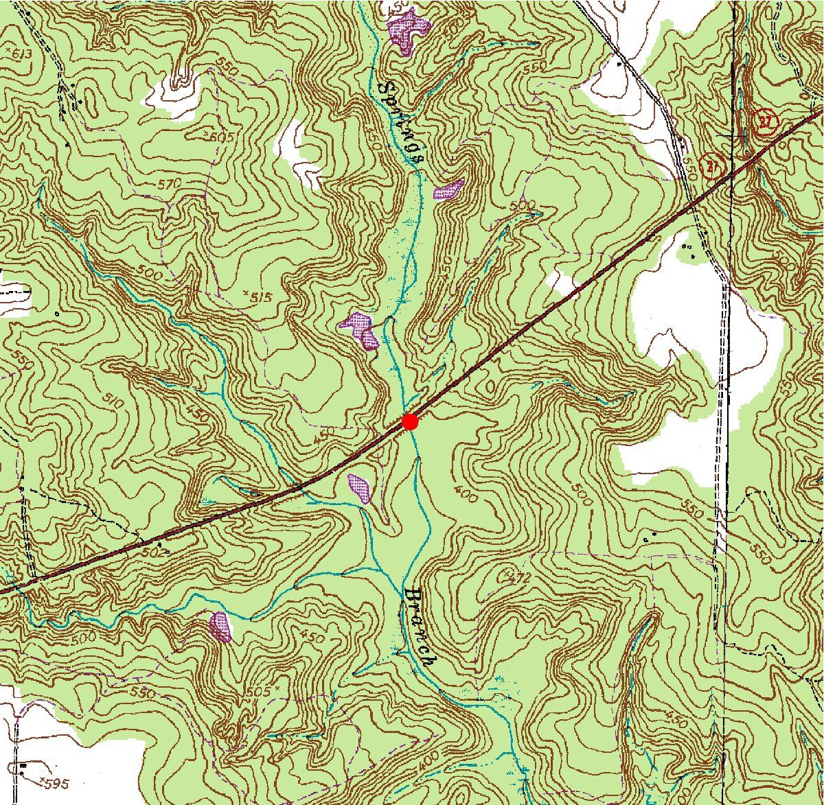
| 02343219 | Bluff Springs Branch at State Route 27 near Lumpkin, Ga. | 32°01'53" | 84°53'18" | Datafile | Map |
| 02343244 | Cemochechobee Creek (S1576) near Coleman, Ga. | 31°39'12" | 84°53'02" | Datafile | Map |
| 02343267 | Temple Creek at State Route 39 near Blakely, Ga. | 31°26'35" | 84°59'00" | Datafile | Map |
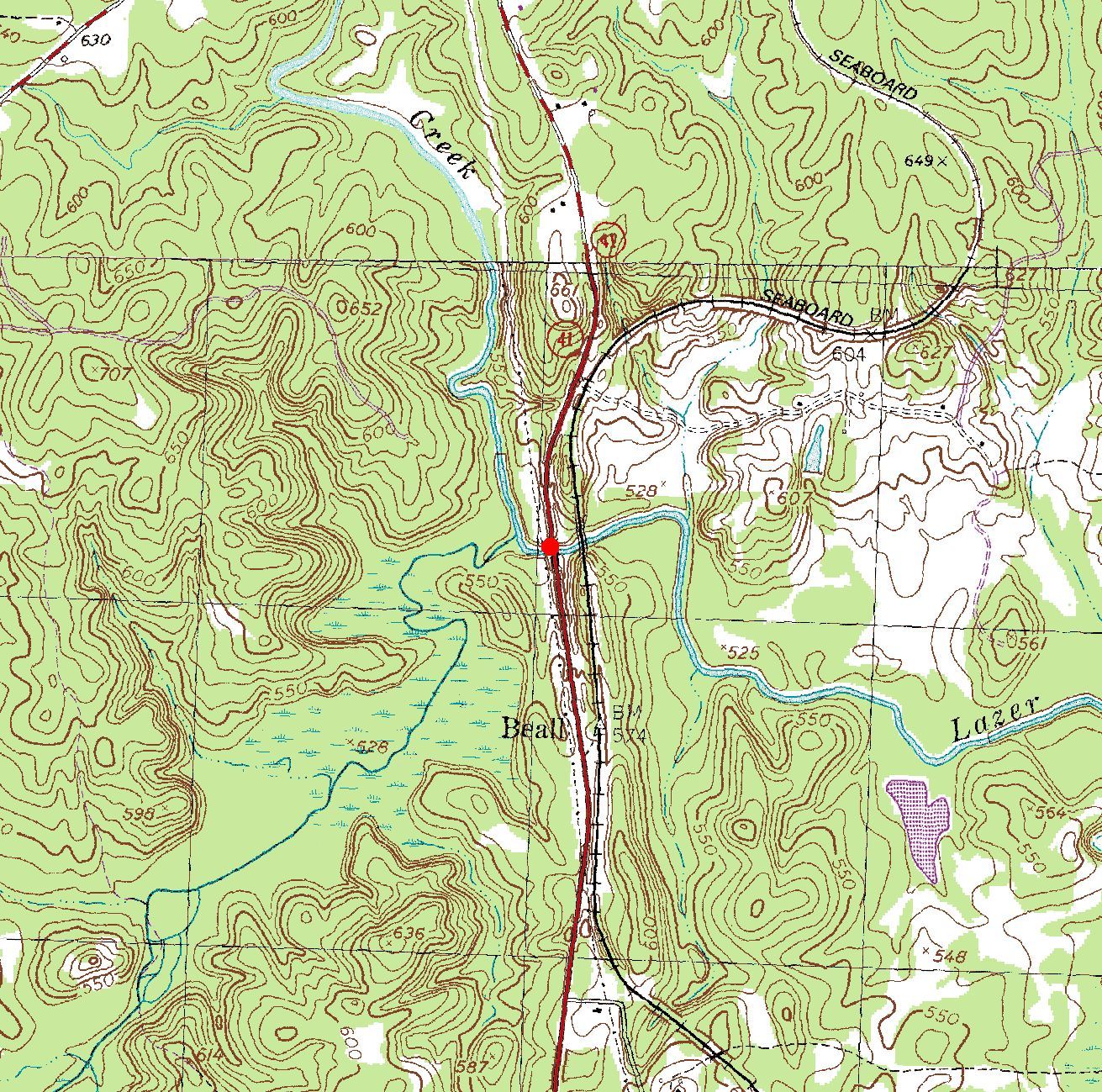
| 02346195 | Lazer Creek (Ga. Highway 41) near Talbotton, Ga. | 32°44'33" | 84°33'20" | Datafile | Map |
| 02346217 | Coleoatchee Creek near Manchester, Ga. | 32°49'20" | 84°36'16" | Datafile | Map |
| 02349030 | Cedar Creek at US 19 near Rupert, Ga. | 32°23'21" | 84°17'49" | Datafile | Map |
| 02349330 | Buck Creek Tributary at State Route 240 near Tazewell, Ga. | 32°20'49" | 84°22'26" | Datafile | Map |
| 02349350 | Buck Creek at US 19 near Ellaville, Ga. | 32°18'35" | 84°17'36" | Datafile | Map |
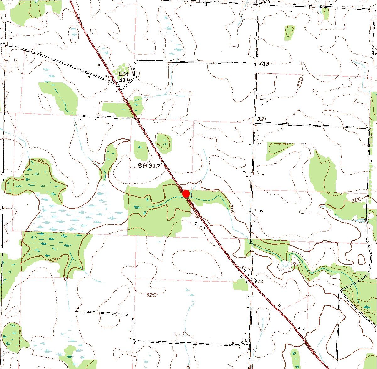
| 02349695 | Horsehead Creek at State Route 224 near Montezuma, Ga. | 32°21'28" | 83°56'12" | Datafile | Map |
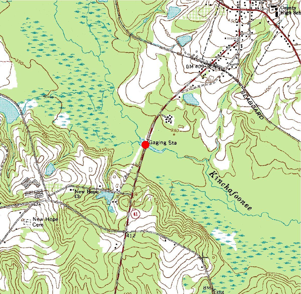
| 02350600 | Kinchafoonee Creek at Preston, Ga. | 32°03'09" | 84°32'54" | Datafile | Map |
| 02350685 | Choctahatchee Creek Tributary at US 280 near Plains, Ga. | 32°02'02" | 84°25'54" | Datafile | Map |
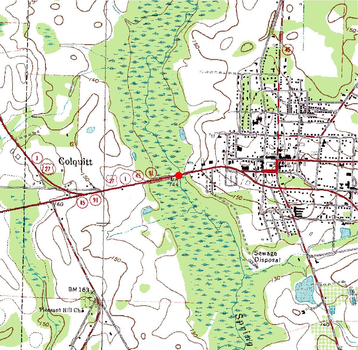
| 02356640 | Spring Creek at US 27 at Colquitt, Ga. | 31°10'14" | 84°44'34" | Datafile | Map |
| 02384600 | Pinhook Creek near Eton, Ga. | 34°49'38" | 84°48'58" | Datafile | Map |
| 02384630 | Conasauga River near Dawnville, Ga. | 34°48'03" | 84°50'18" | Datafile | Map |
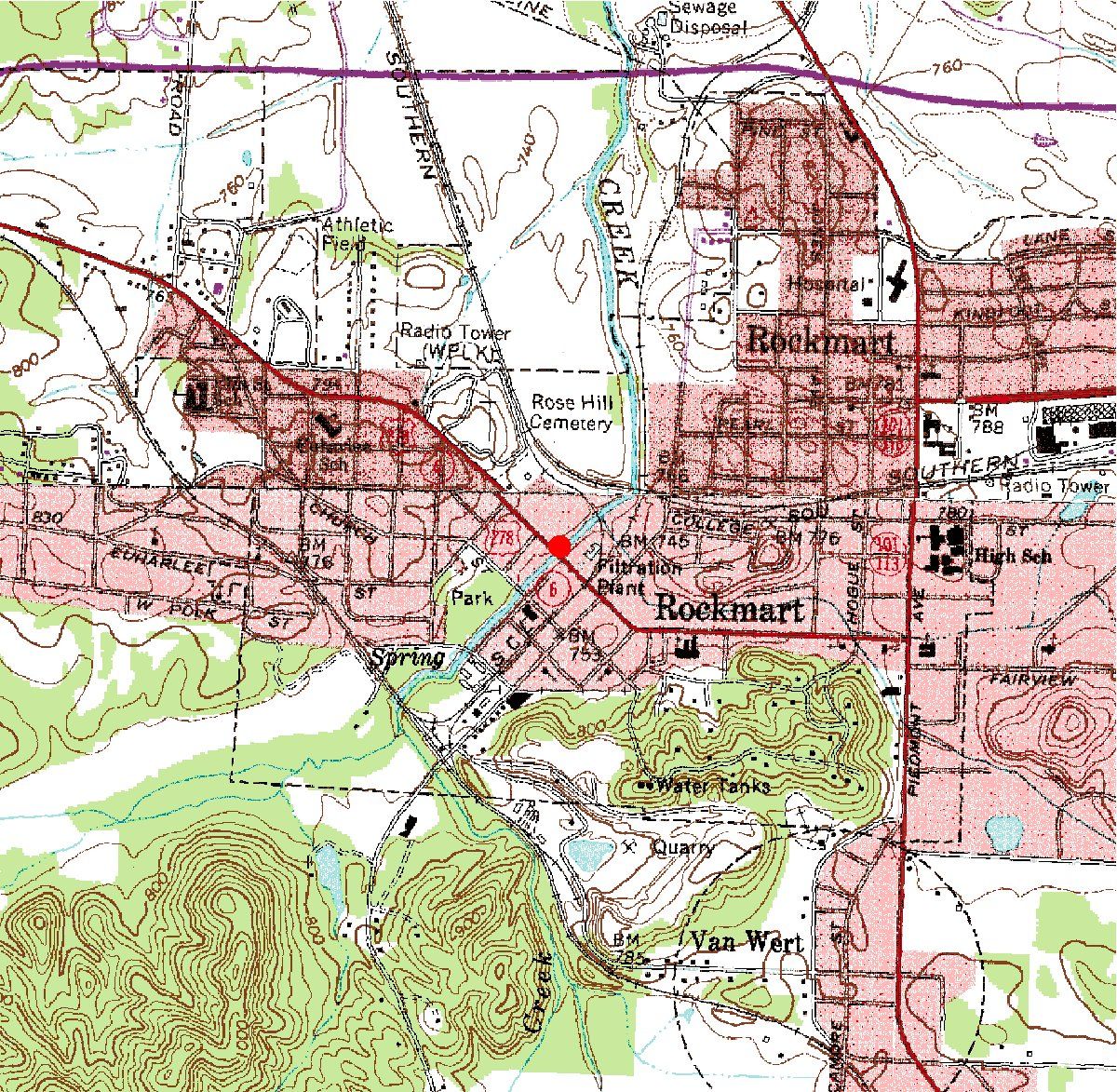
| 02394820 | Euharlee Creek (US Highway 278) at Rockmart, Ga. | 33°59'55" | 85°03'09" | Datafile | Map |
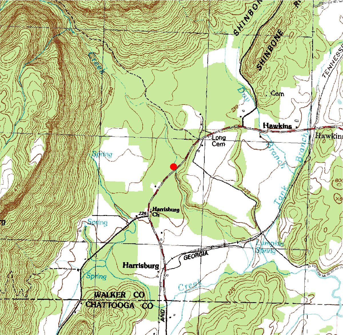
| 02397830 | Harrisburg Creek near Hawkins, Ga. | 34°36'02" | 85°23'21" | Datafile | Map |
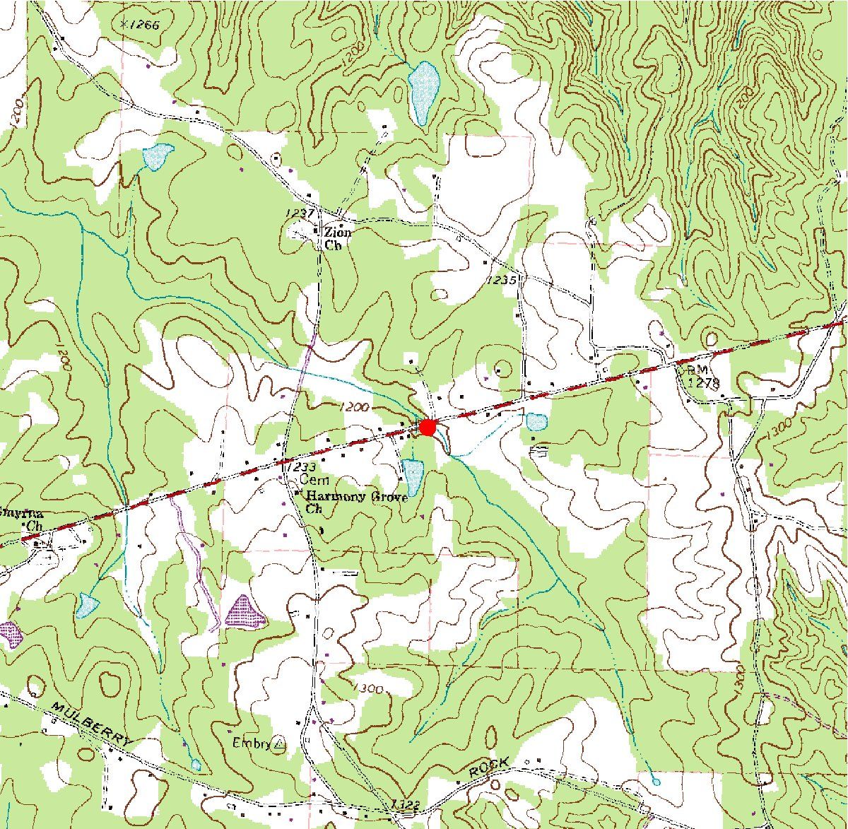
| 02411735 | Mcclendon Creek Tributary at State Route 120 near Dallas, Ga. | 33°50'58" | 84°57'20" | Datafile | Map |
| 02411902 | Mann Creek Tributary at State Route 100 near Tallapoosa,Ga. | 33°51'16" | 85°17'28" | Datafile | Map |
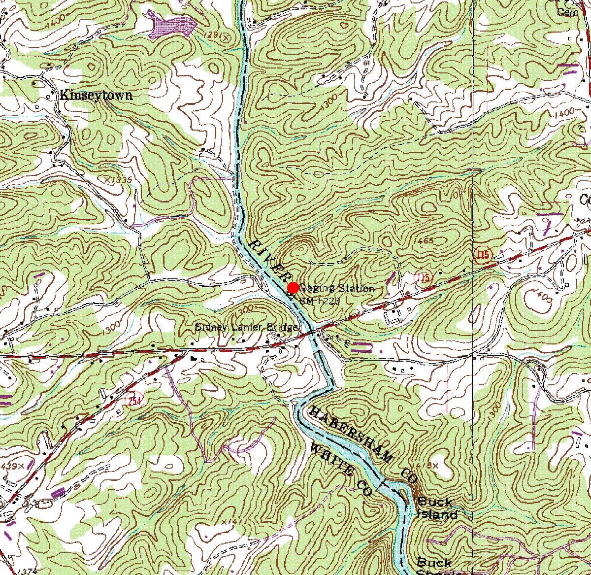
| 03545000 | Hiwassee River at Presley, Ga. | 34°54'17" | 83°43'01" | Datafile | Map |
| 03550500 | Nottely River near Blairsville, Ga. |
34°50'28" | 83°56'10" | Datafile | Map |
