| Simulation of Regional Ground-Water Flow in the Upper Deschutes Basin, Oregon |
| By Marshall W. Gannett and Kenneth E. Lite, Jr. |
| Water-Resources Investigations Report 03-4195 |
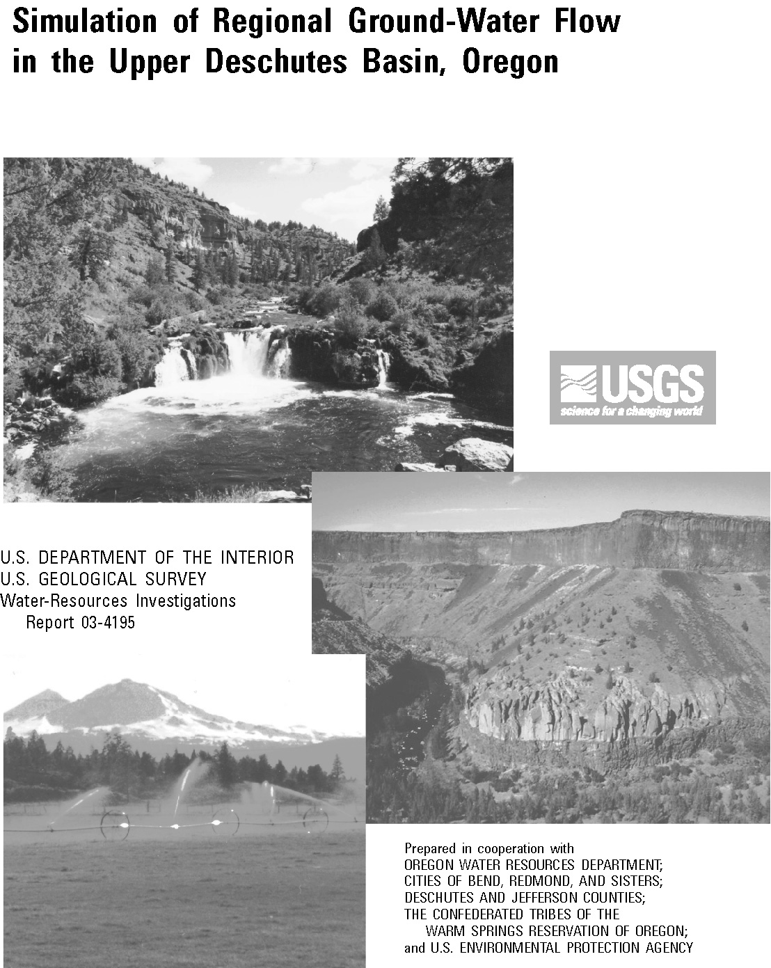
| Prepared in Cooperation with the Oregon Water Resources Department; the Cities of Bend, Redmond, and Sisters; Deschutes and Jefferson Counties; the Confederated Tribes of the Warm Springs Reservation of Oregon; and the U.S. Environmental Protection Agency |
| Download the report | |||
|
Abstract This report describes a numerical model that simulates regional ground-water flow in the upper Deschutes Basin of central Oregon. Ground water and surface water are intimately connected in the upper Deschutes Basin and most of the flow of the Deschutes River is supplied by ground water. Because of this connection, ground-water pumping and reduction of artificial recharge by lining leaking irrigation canals can reduce the amount of ground water discharging to streams and, consequently, streamflow. The model described in this report is intended to help water-management agencies and the public evaluate how the regional ground-water system and streamflow will respond to ground-water pumping, canal lining, drought, and other stresses. Ground-water flow is simulated in the model by the finite-difference method using MODFLOW and MODFLOWP. The finite-difference grid consists of 8 layers, 127 rows, and 87 columns. All major streams and most principal tributaries in the upper Deschutes Basin are included. Ground-water recharge from precipitation was estimated using a daily water-balance approach. Artificial recharge from leaking irrigation canals and on-farm losses was estimated from diversion and delivery records, seepage studies, and crop data. Ground-water pumpage for irrigation and public water supplies, and evapotranspiration are also included in the model. The model was calibrated to mean annual (1993-95) steady-state conditions using parameter-estimation techniques employing nonlinear regression. Fourteen hydraulic-conductivity parameters and two vertical conductance parameters were determined using nonlinear regression. Final parameter values are all within expected ranges. The general shape and slope of the simulated water-table surface and overall hydraulic-head distribution match the geometry determined from field measurements. The fitted standard deviation for hydraulic head is about 76 feet. The general magnitude and distribution of ground-water discharge to streams is also well simulated throughout the model. Ground-water discharge to streams in the area of the confluence of the Deschutes, Crooked, and Metolius Rivers is closely matched. The model was also calibrated to transient conditions from 1978 to 1997 using traditional trial-and-error methods. Climatic cycles during this period provided an excellent regional hydrologic signal for calibration. Climate-driven water-level fluctuations are simulated with reasonable accuracy over most of the model area. The timing and magnitude of simulated water-level fluctuations caused by annual pulses of recharge from precipitation match those observed reasonably well, given the limitations of the time discretization in the model. Water-level fluctuations caused by annual canal leakage are simulated very well over most of the area where such fluctuations occur. The transient model also simulates the volumetric distribution and temporal variations in ground-water discharge reasonably well. The match between simulated and measured volume of and variations in ground-water discharge is, however, somewhat dependent on geographic scale. The rates of and variations in ground-water discharge are matched best at regional scales. Example simulations were made to demonstrate the utility of the model for evaluating the effects of ground-water pumping or canal lining. Pumping simulations show that pumped water comes largely from aquifer storage when pumping begins, but as the water table stabilizes, the pumping increasingly diminishes the discharge to streams and, hence, streamflow. The time it takes for pumping to affect streamflow varies spatially depending, in general, on the location of pumping relative to the discharge areas. Canal-lining simulations show similar effects. | ||
|
Contents Abstract Introduction Background and Study Objectives Purpose and Scope Study Area Description Acknowledgements Ground-Water Hydrology Geologic Framework Ground-Water Flow Hydraulic Chracteristics Model Description Governing Equations and Model Code Discretization Boundary Conditions Model Parameters Model Calibration Steady-State Calibration Steady-State Calibration Model Fit Transient Calibration Example Simulations Summary and Conclusions References Cited |
|
|
| Download the report (PDF, 11.4 MB) (Adobe ReaderTM required; version 5 or higher preferred.) |
| If you do not have the Adobe PDF Reader, it is available for free download from Adobe Systems Incorporated. |
| Document Accessibility: Adobe Systems Incorporated has information about PDFs and the visually impaired. This information provides tools to help make PDF files accessible. These tools convert Adobe PDF documents into HTML or ASCII text, which then can be read by screen-reading programs that synthesize text as audible speech. In addition, a version of Adobe Reader that contains support for screen readers is available. The conversion tools and the accessible reader may be obtained free from Adobe at Access Adobe. |
|
|
| Order a printed copy of this or other USGS water-resources reports. |
| To find out more about the USGS in Oregon, please visit our home page. |
|
|
| USGS | Biology | Geology | Geography | Water | WRI Reports | Water Related Reports |
| AccessibilityFOIAPrivacyPolicies and Notices | |
 |
|