
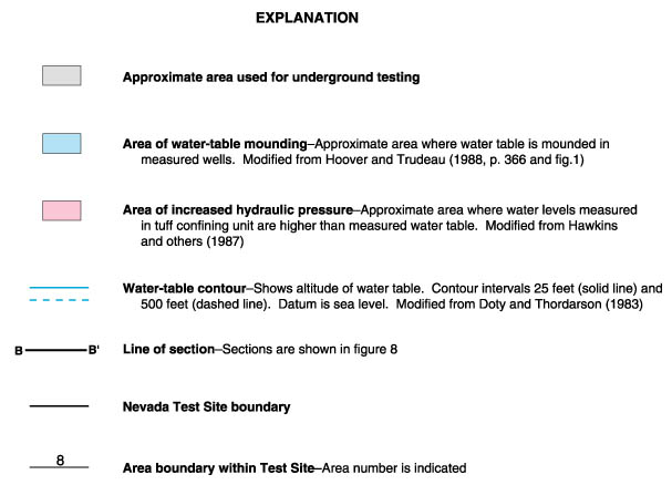
Figure 9. General areas within Yucca Flat where
sustained, local hydrologic effects may have resulted from
underground testing.
Return to WRIR 96-4109||Return to the Index||Go to WRIR 96-4109 Plates
USGS Water home page || USGS home pageThe pathname for this page is <fig9.htm>
These pages are maintained by S.C. DeMeo
Last modified Wednesday, 07-Dec-2016 12:41:10 EST