Skip Links

Data Series 953

Port Canaveral Inset Map


Home | Abbreviations | Contents | Photos and Maps | Navigation Data | Logs | Metadata | Citation Page


Click on a segment name to view the contact sheet.

Port Canaveral Inset Map ds953_2014_0906_133000 ds953_2014_0906_133500 ds953_2014_0906_134000
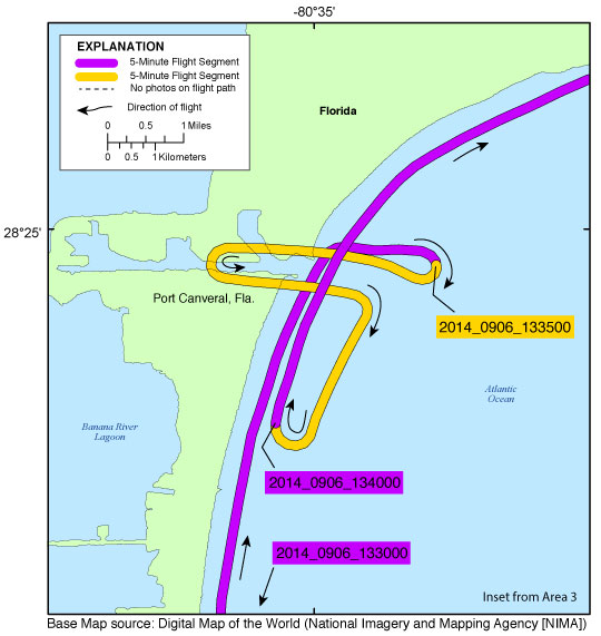
Figure 6. Port Canaveral inset map (Area 3). Map showing the flight path of the coastal oblique aerial survey from Cape Canaveral, Florida, to the Kennedy Space Center, Florida, on September 6, 2014. Purple and yellow colored lines correspond to 5-minute flight segments that link to contact sheets of associated photo thumbnails. Click on the 5-minute segment name to view each contact sheet.


Full Survey Area | 2014-327-FA - Area 1 | 2014-327-FA - Area 2 | 2014-327-FA - Area 3 | 2014-327-FA - Area 4 | 2014-327-FA - Area 5

St. Lucie Inset Map | Fort Pierce Inset Map | Port Canaveral Inset Map | Kennedy Space Center, Cape Area Inset Map | Ponce Inlet Inset Map
Matanzas Inlet Inset Map | St. Augustine Inlet Inset Map | St. Johns River Inlet Inset Map

Home | Abbreviations | Contents | Photos and Maps | Navigation Data | Logs | Metadata | Citation Page