Data Series 968
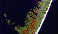
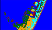
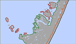
| Data DownloadsThe spatial data presented in this report, including geographic information system (GIS) thematic raster datasets representing wetland and terrestrial habitat extents; GIS vector feature datasets representing open-ocean, back-barrier, and estuarine mainland shoreline and sand-line positions; and accompanying formal Federal Geographic Data Committee (FDGC) metadata, can be downloaded from the table below. The GIS data are provided as file geodatabases (.gdb) and can be opened using Esri ArcGIS version 10.0 or higher; these data may also be viewed using the free GIS viewer ArcGIS Explorer. All GIS data files presented in this report use the projected coordinate system World Geodetic System of 1984 (WGS84), Universal Transverse Mercator (UTM) Zone 18 North (16N).
|

![]() U.S. Department of the Interior |
U.S. Geological Survey
U.S. Department of the Interior |
U.S. Geological Survey
URL: http://pubsdata.usgs.gov/pubs/ds/0968/ds968_data.html
Page Contact Information: GS Pubs Web Contact
Page Last Modified: Monday, 28-Nov-2016 20:44:04 EST