GROUND WATER ATLAS of the UNITED STATES
Iowa, Michigan, Minnesota, Wisconsin
HA 730-J
Regional Summary
There are two different files for each illustration
- A 90 ppi JPEG file, suitable for screen viewing is accessed
through the thumbnail image.
- A tiff file is accessed through the "tiff file"
link. All files are Adobe Photoshop. These files have been compressed
with GNU's gzip utility. If your web browser defaults to a screen
display of the file, turn on the "Load to local disk"
option before downloading. Download and process these tiff files
as ascii, not binary.
Introduction
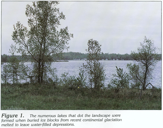
Figure 1 Photograph showing lake formed by glaciation (275K)
 downloadable tiff file J001.tif.gz (1.8MB
compressed)
downloadable tiff file J001.tif.gz (1.8MB
compressed)
Figure 2 Map showing population areas (368K)
 downloadable tiff file J002.tif.gz (2.8MB
compressed)
downloadable tiff file J002.tif.gz (2.8MB
compressed)
Figure 3 Map showing average annual precipitation (315K)
 downloadable tiff file J003.tif.gz (3MB
compressed)
downloadable tiff file J003.tif.gz (3MB
compressed)
Figure 4 Map showing average annual runoff
(336K)
 downloadable tiff file J004.tif.gz (3.3MB
compressed)
downloadable tiff file J004.tif.gz (3.3MB
compressed)
 downloadable tiff file J001.tif.gz (1.8MB
compressed)
downloadable tiff file J001.tif.gz (1.8MB
compressed) 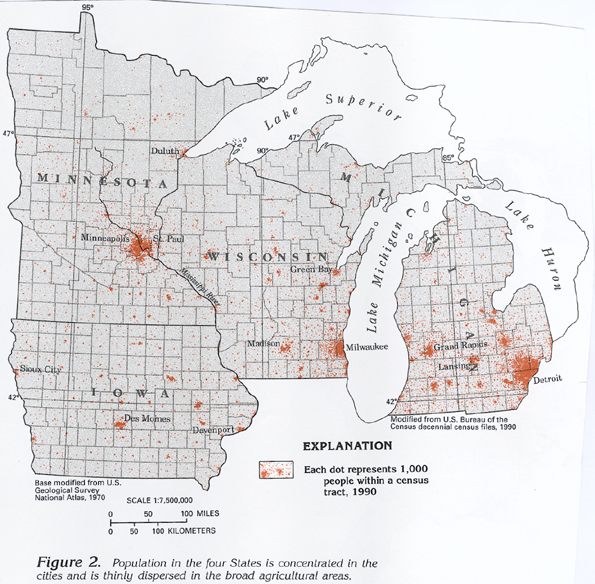 downloadable tiff file J002.tif.gz (2.8MB
compressed)
downloadable tiff file J002.tif.gz (2.8MB
compressed)  downloadable tiff file J003.tif.gz (3MB
compressed)
downloadable tiff file J003.tif.gz (3MB
compressed) 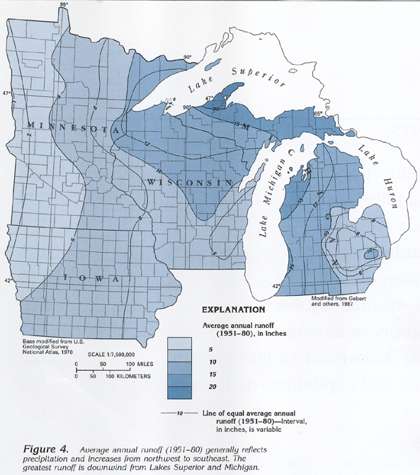 downloadable tiff file J004.tif.gz (3.3MB
compressed)
downloadable tiff file J004.tif.gz (3.3MB
compressed)